Mexico › Tulum › Hotels › Naay Review
Updated: March 9, 2022
Essentials
• Location: In the Aldea Zama development between the town and the beach.
• Hotel website: naay-tulum.com
• Hotel phone: +52 984 231 1241
• Check prices for Naay

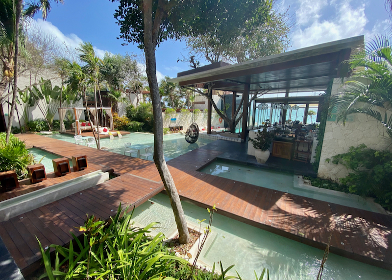
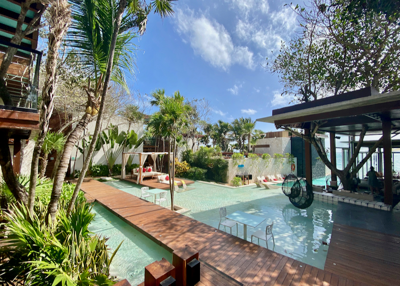
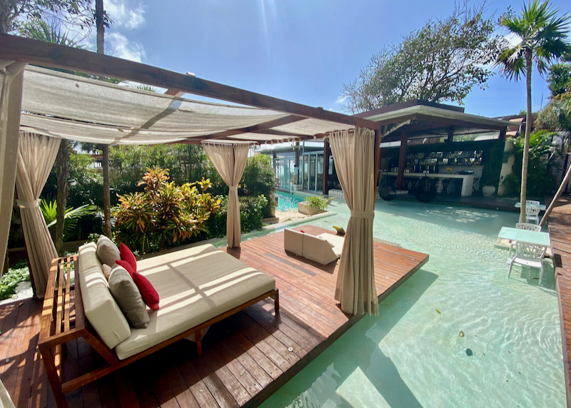
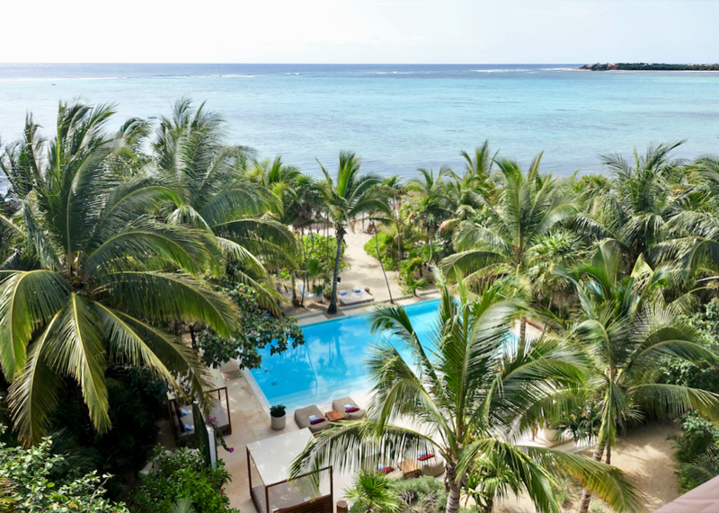
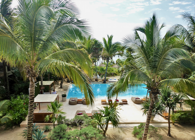
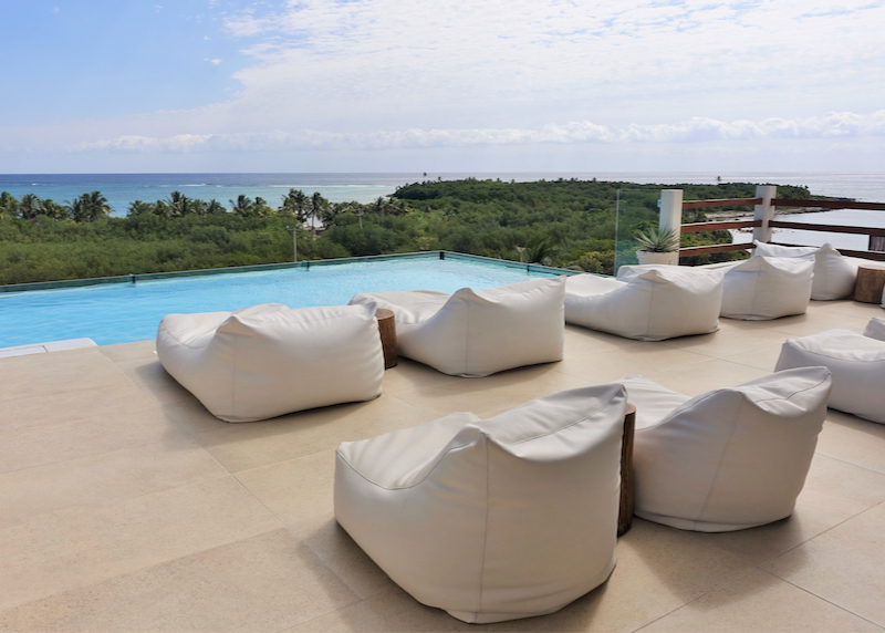
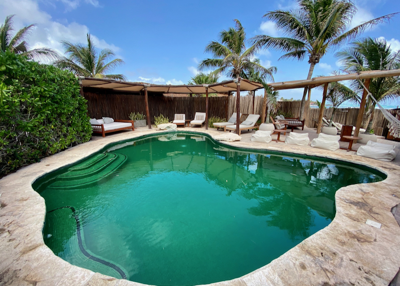
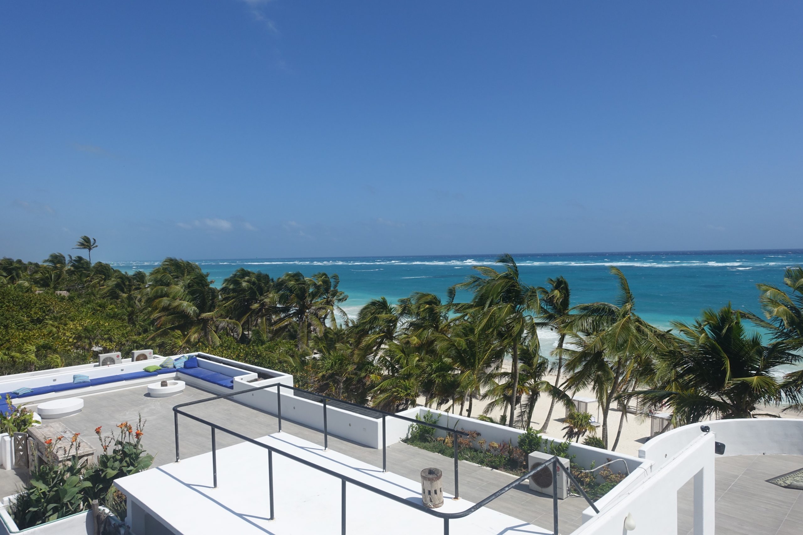
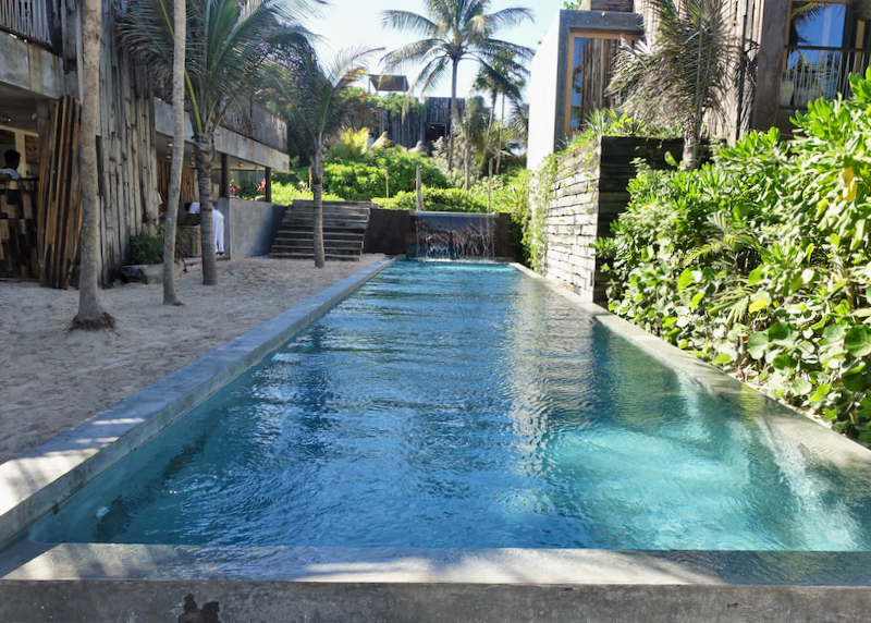
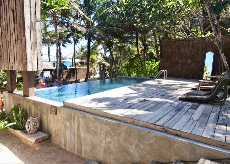
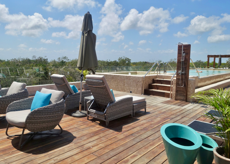
Rooftop pool at Naay Boutique Hotel in Aldea Zama, with views out over the surrounding jungle.
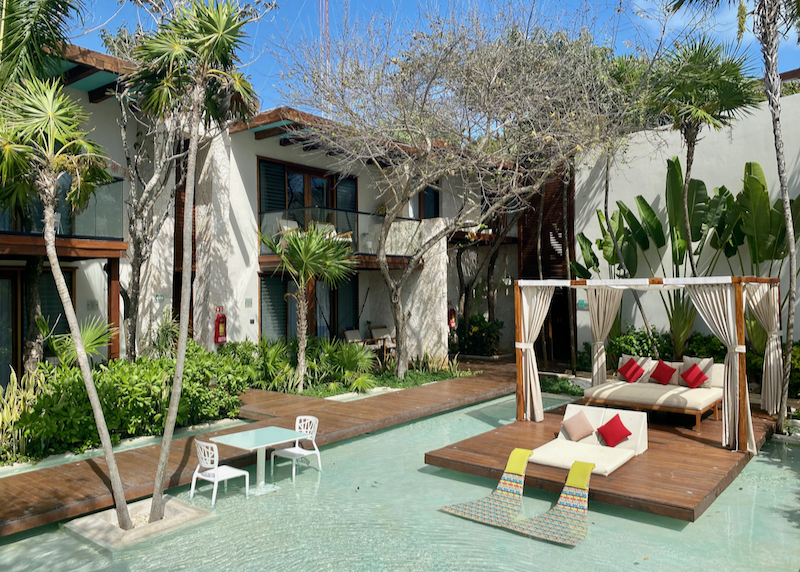
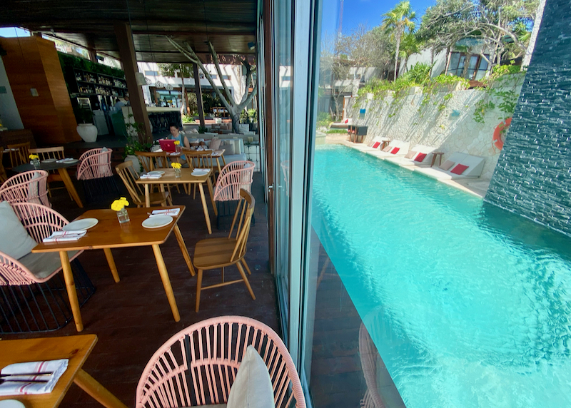
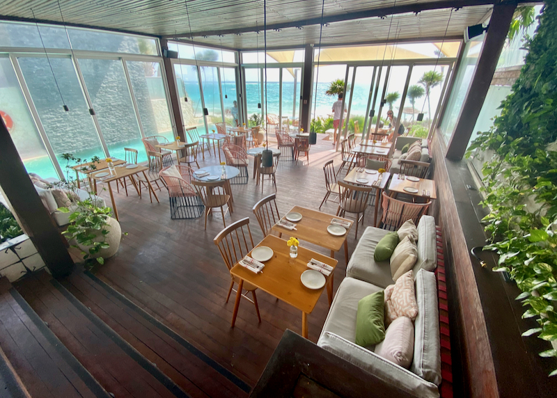
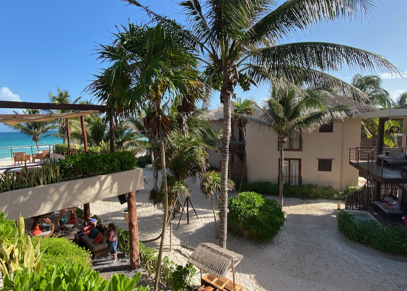
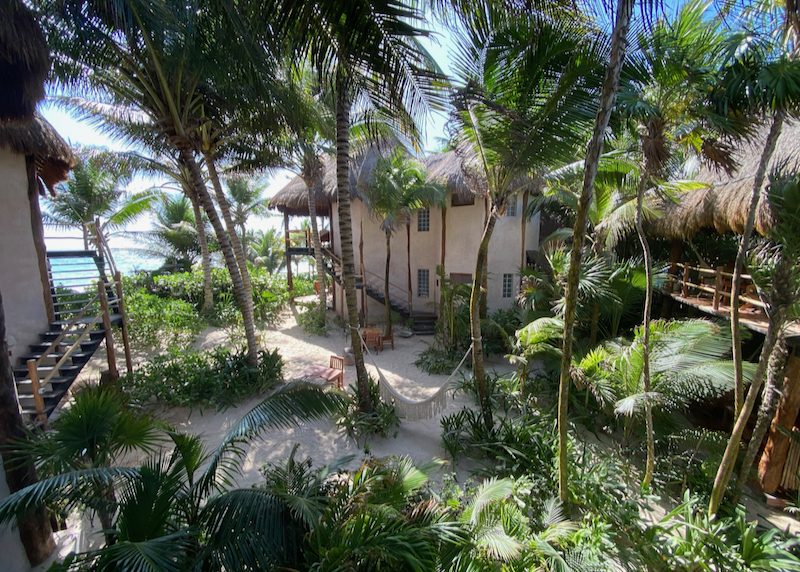
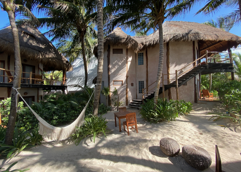
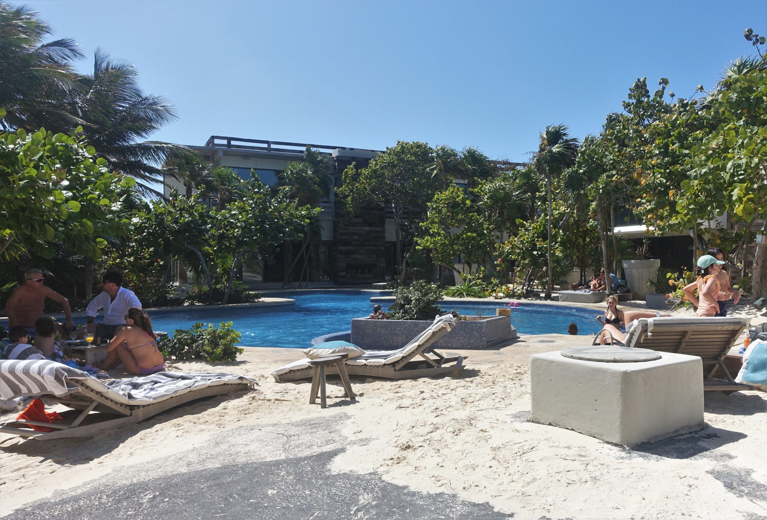
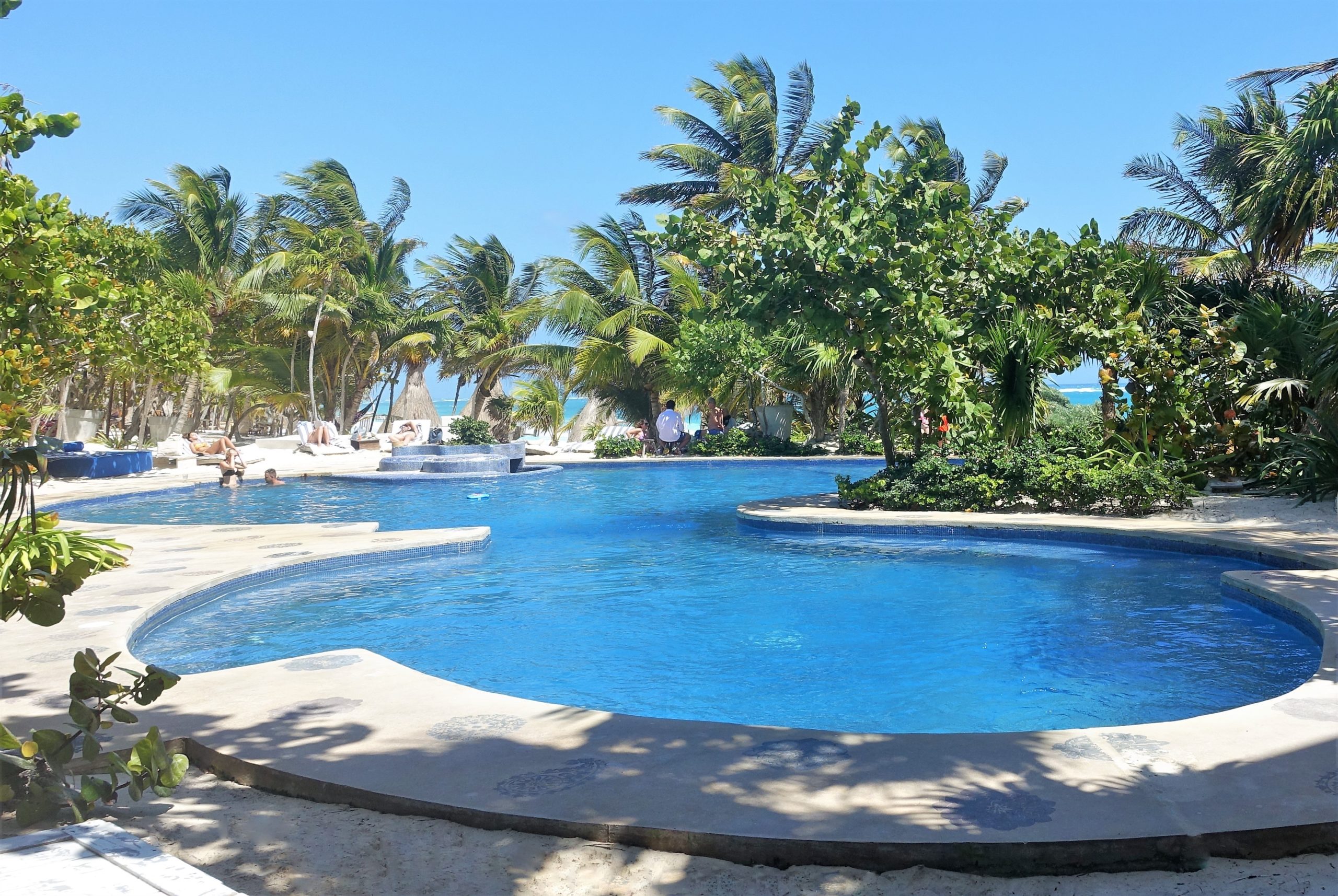
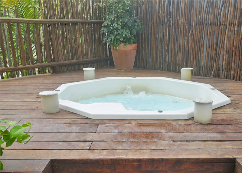
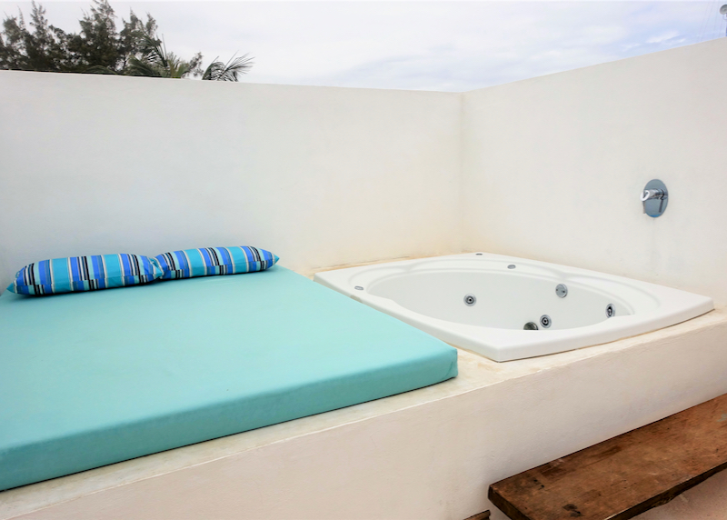
Naay – Stylish boutique hotel in the brand new Aldea Zama neighborhood, halfway between the Pueblo and the beach. Family-friendly 1 and 2-bedroom suites sleep up to 6 guests. The main highlight is the hotel’s rooftop, which boasts an infinity pool, kids’ pool, infinity jacuzzi, and an outstanding bar and restaurant with sunset views over the jungle.
See Also
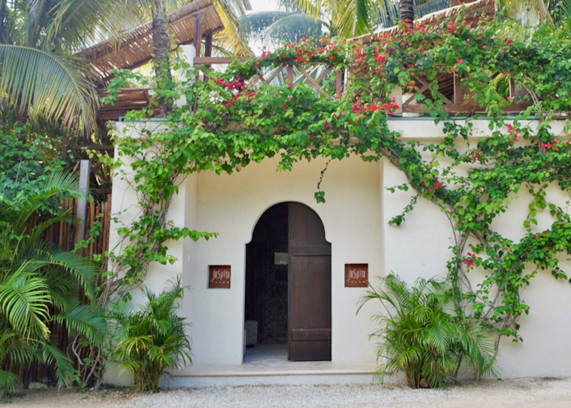
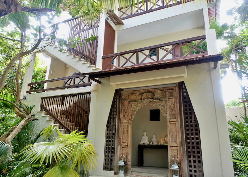
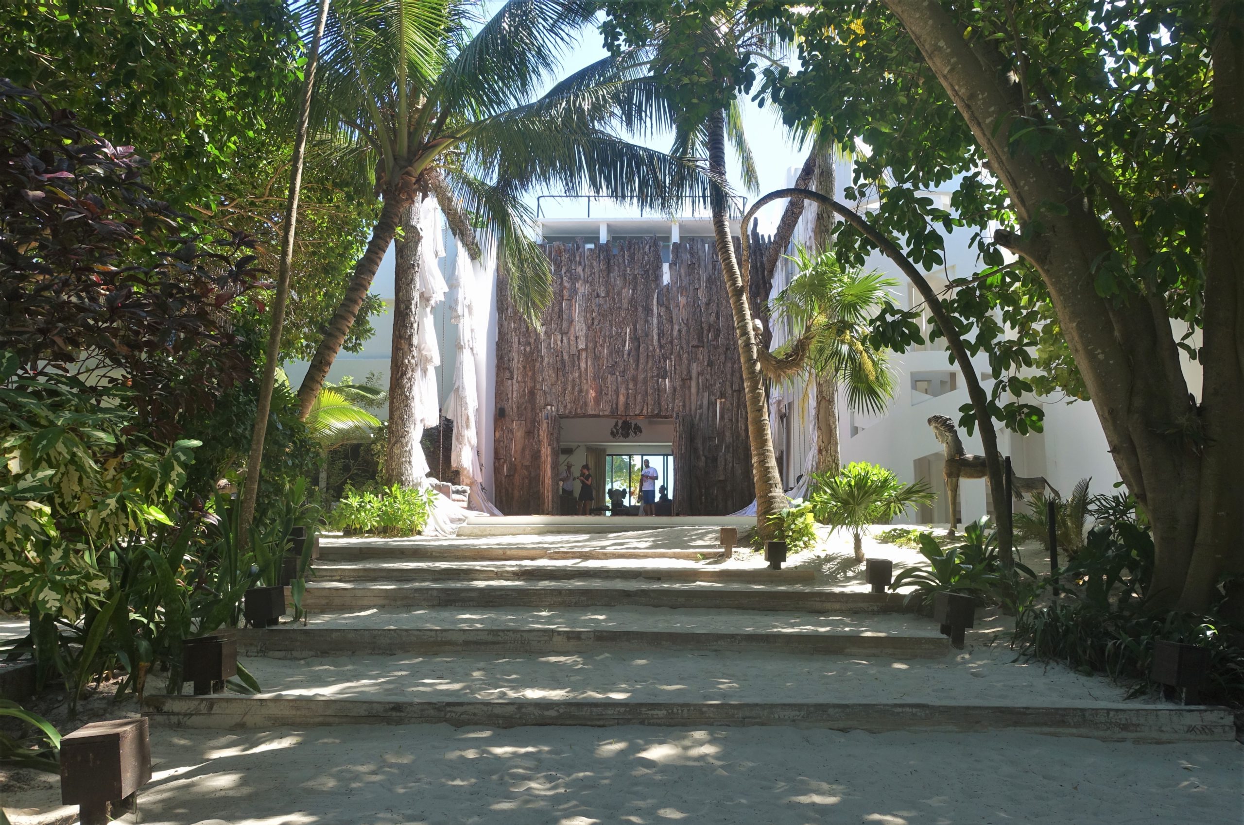
Naay Boutique Hotel
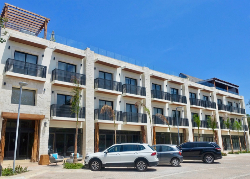
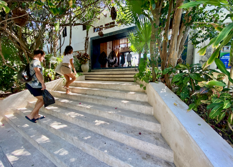
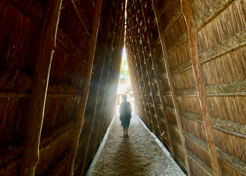
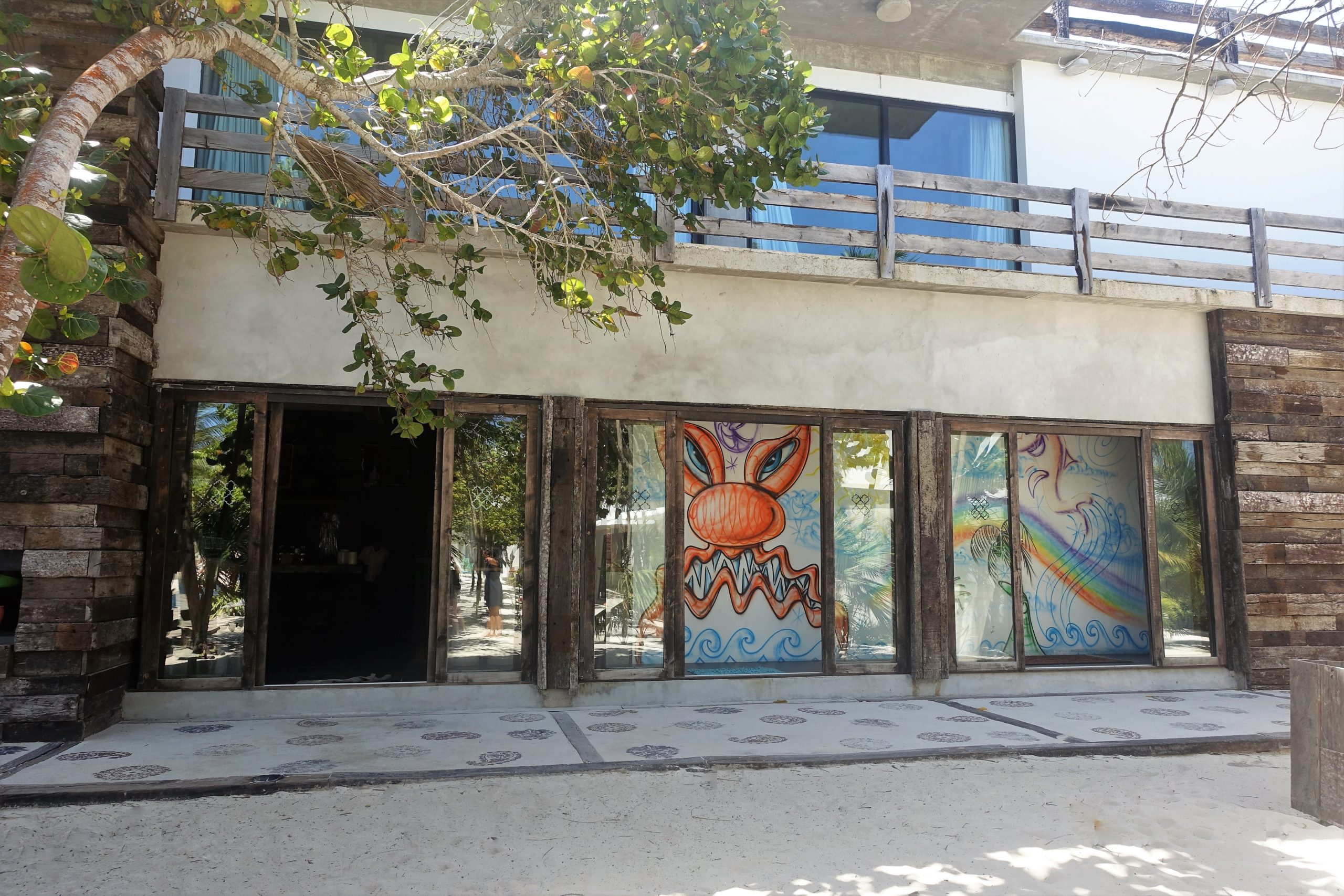
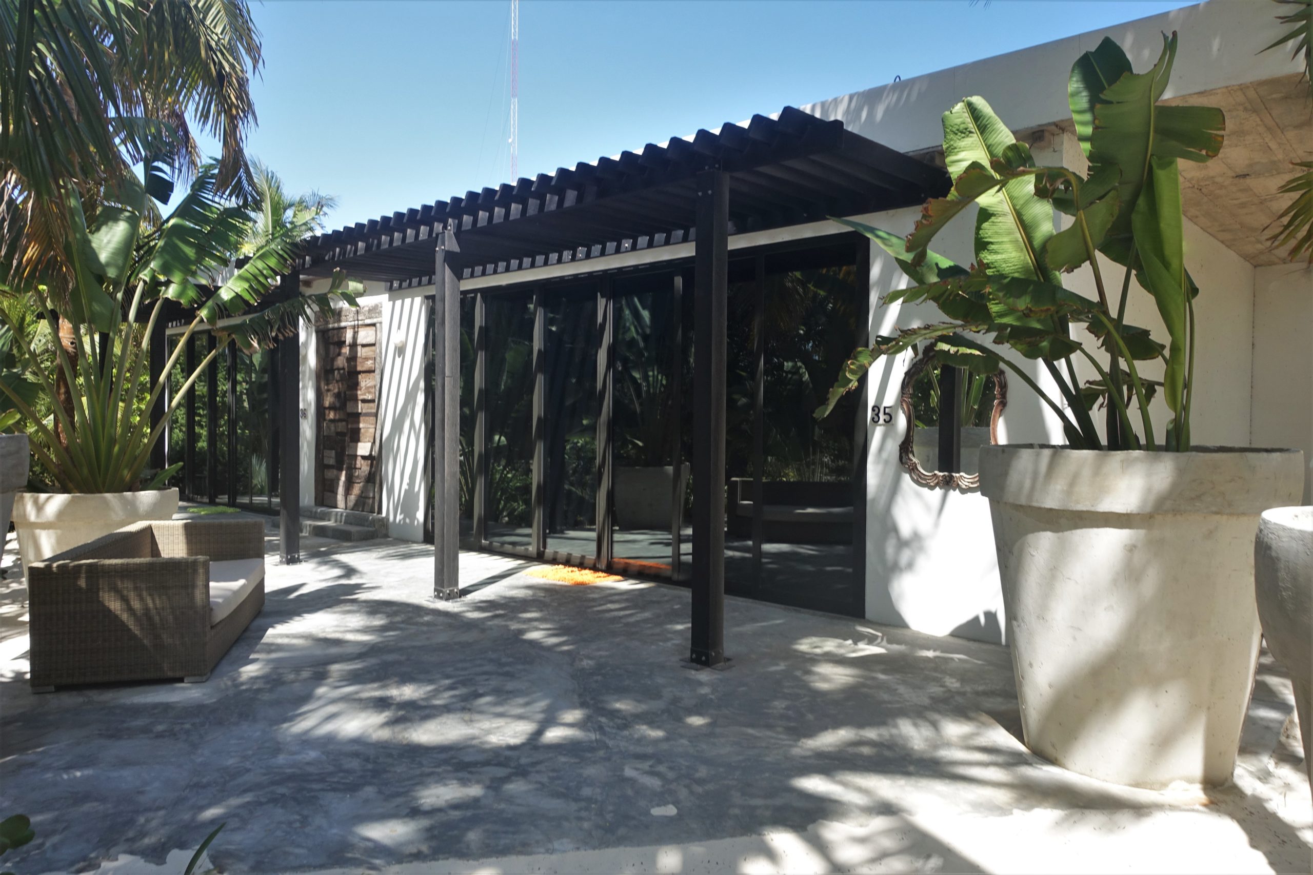
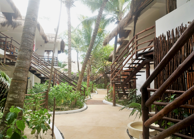
Naay Boutique Hotel in Aldea Zama.

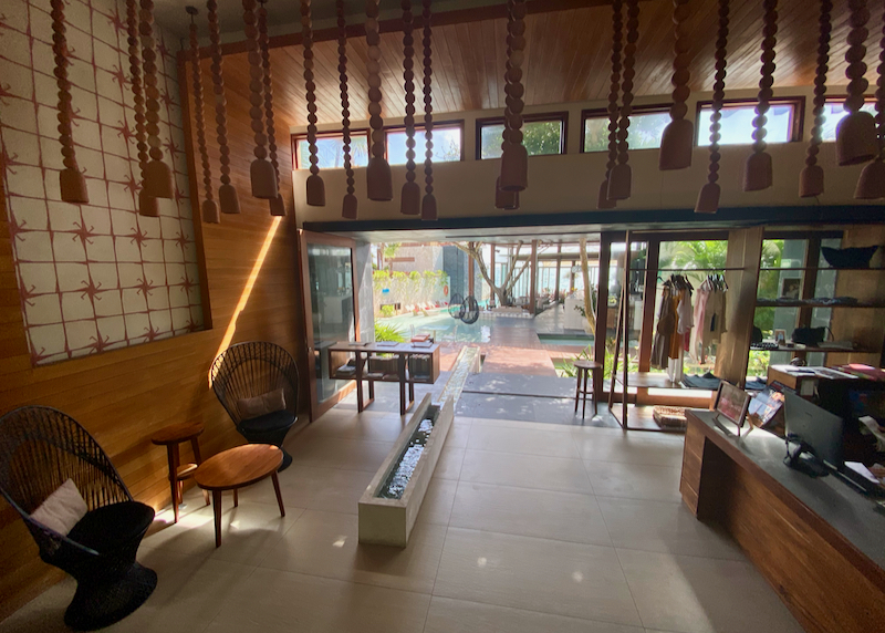
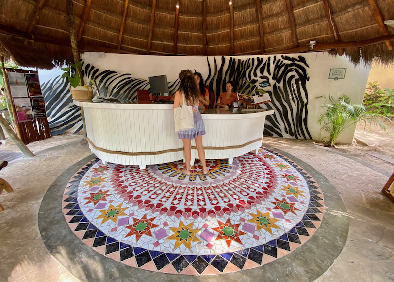
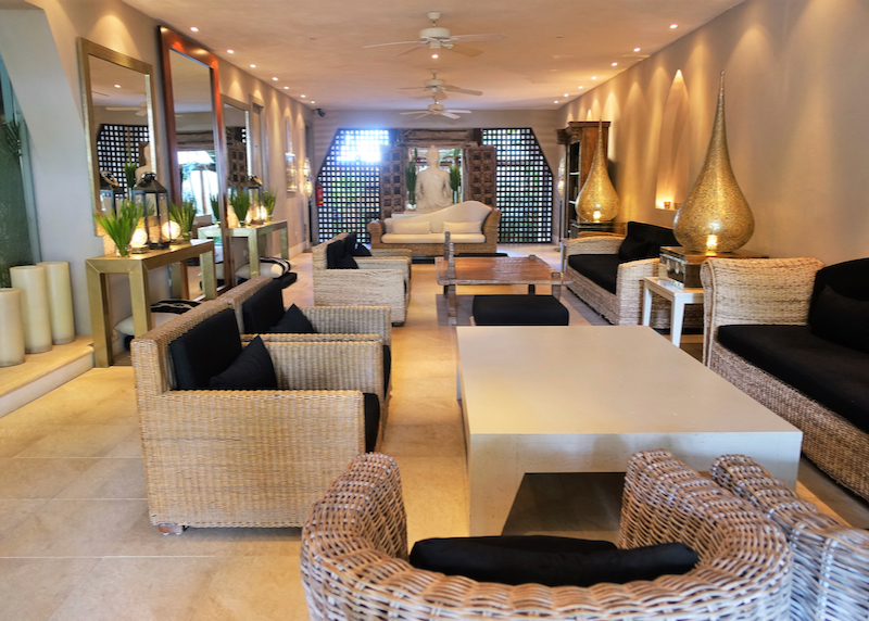
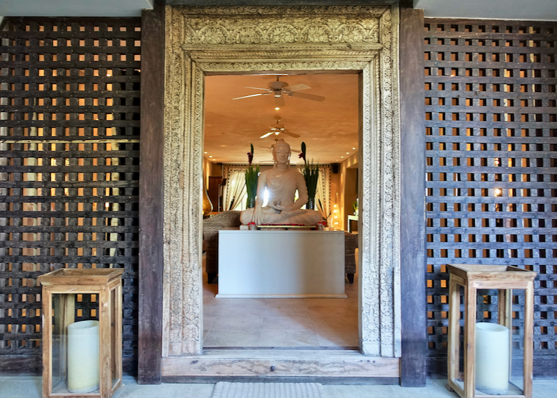
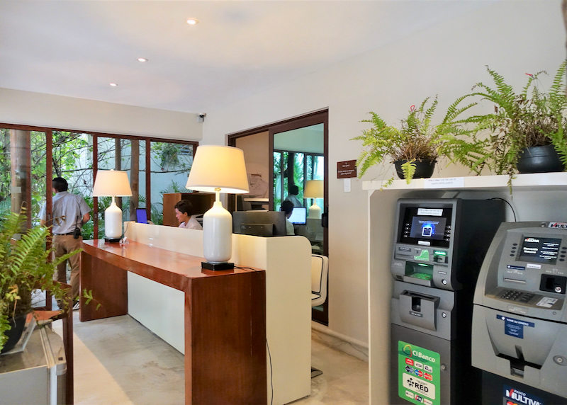
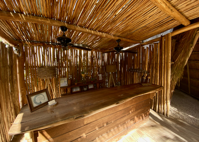
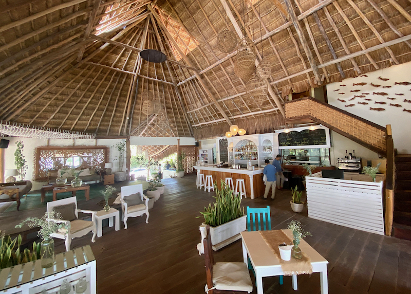
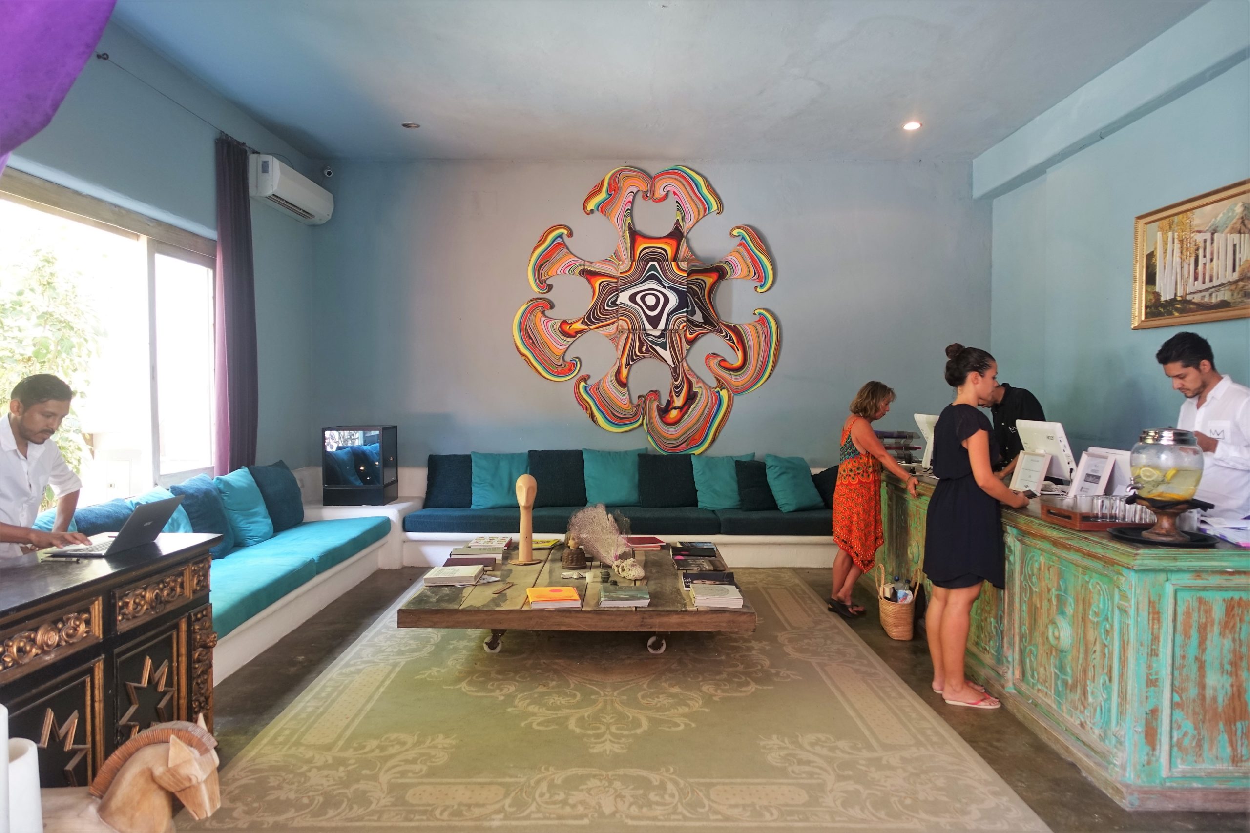
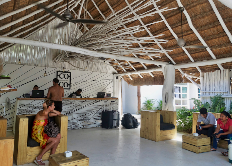
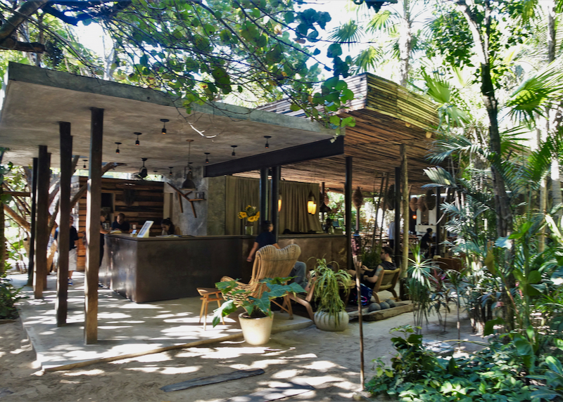
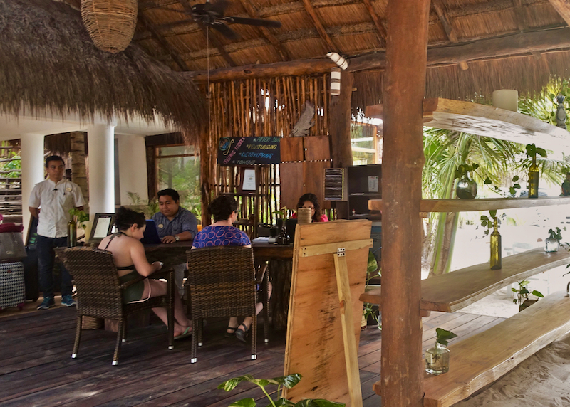
Inside the hotel lobby with reception desk.

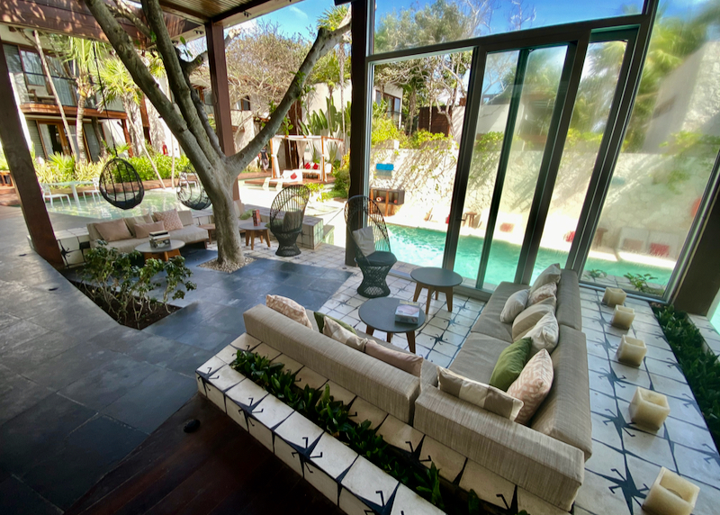
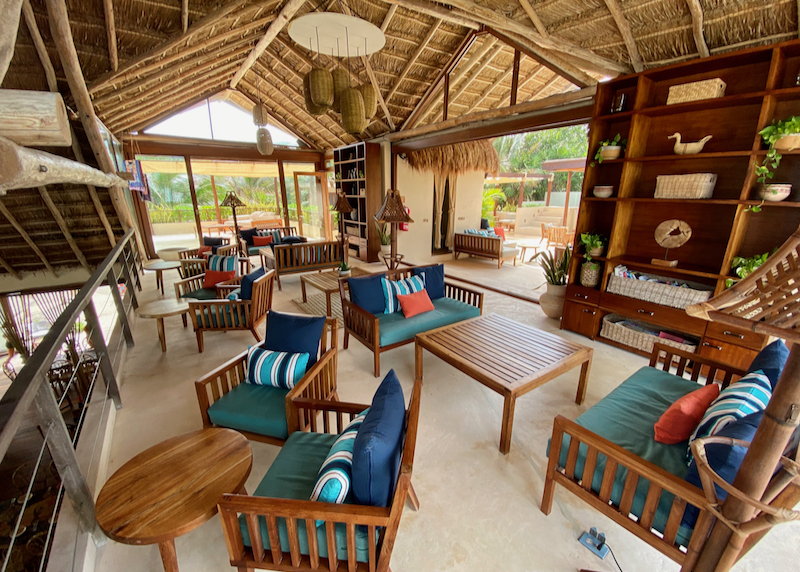
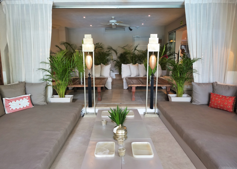
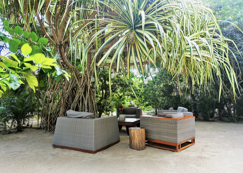
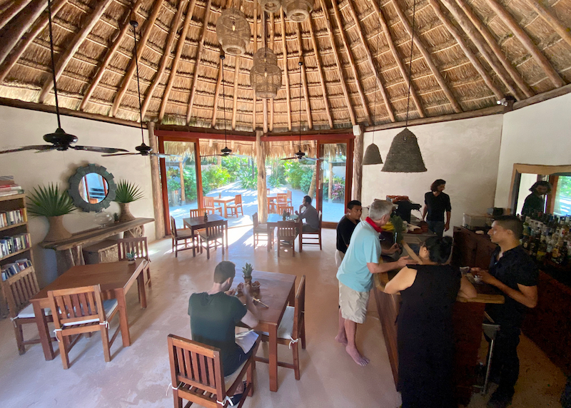
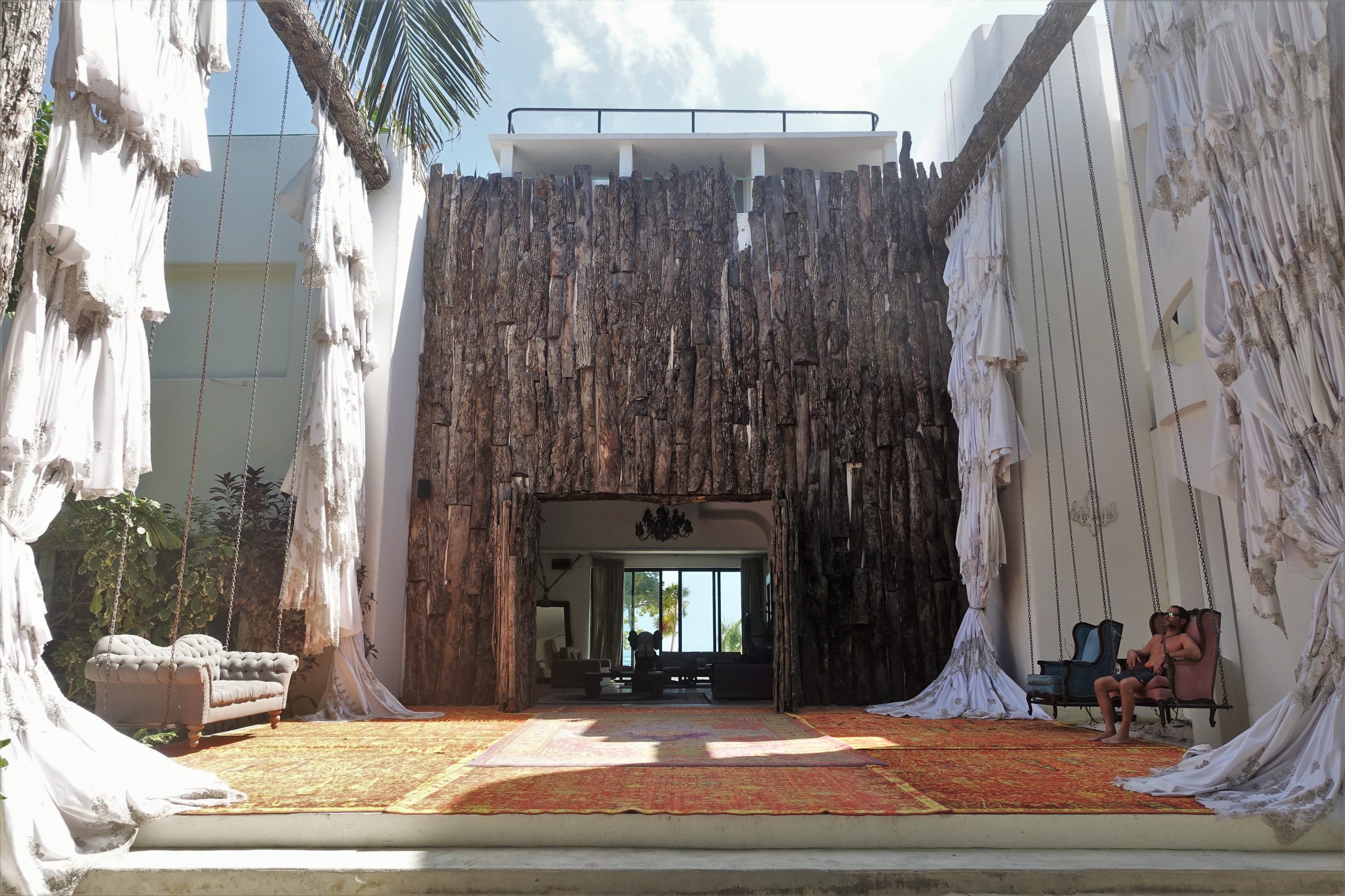
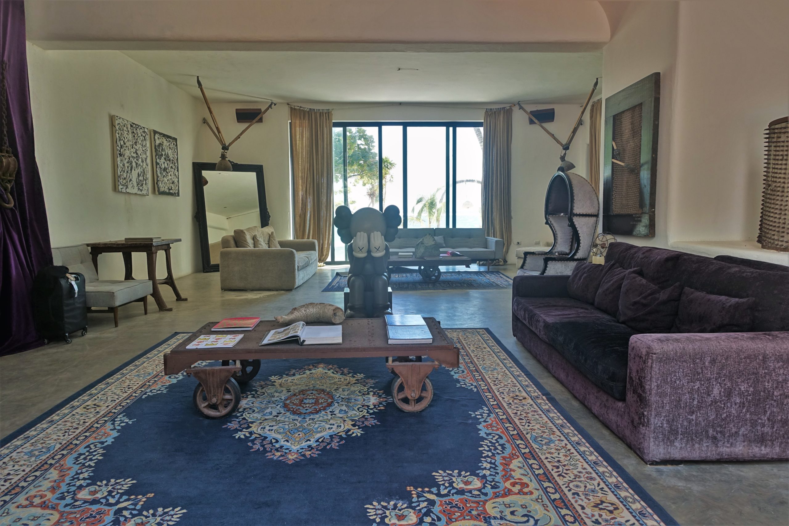
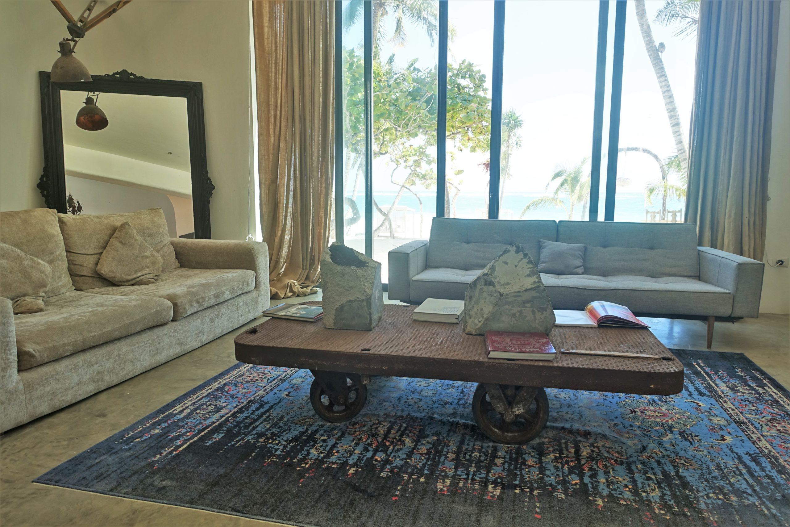
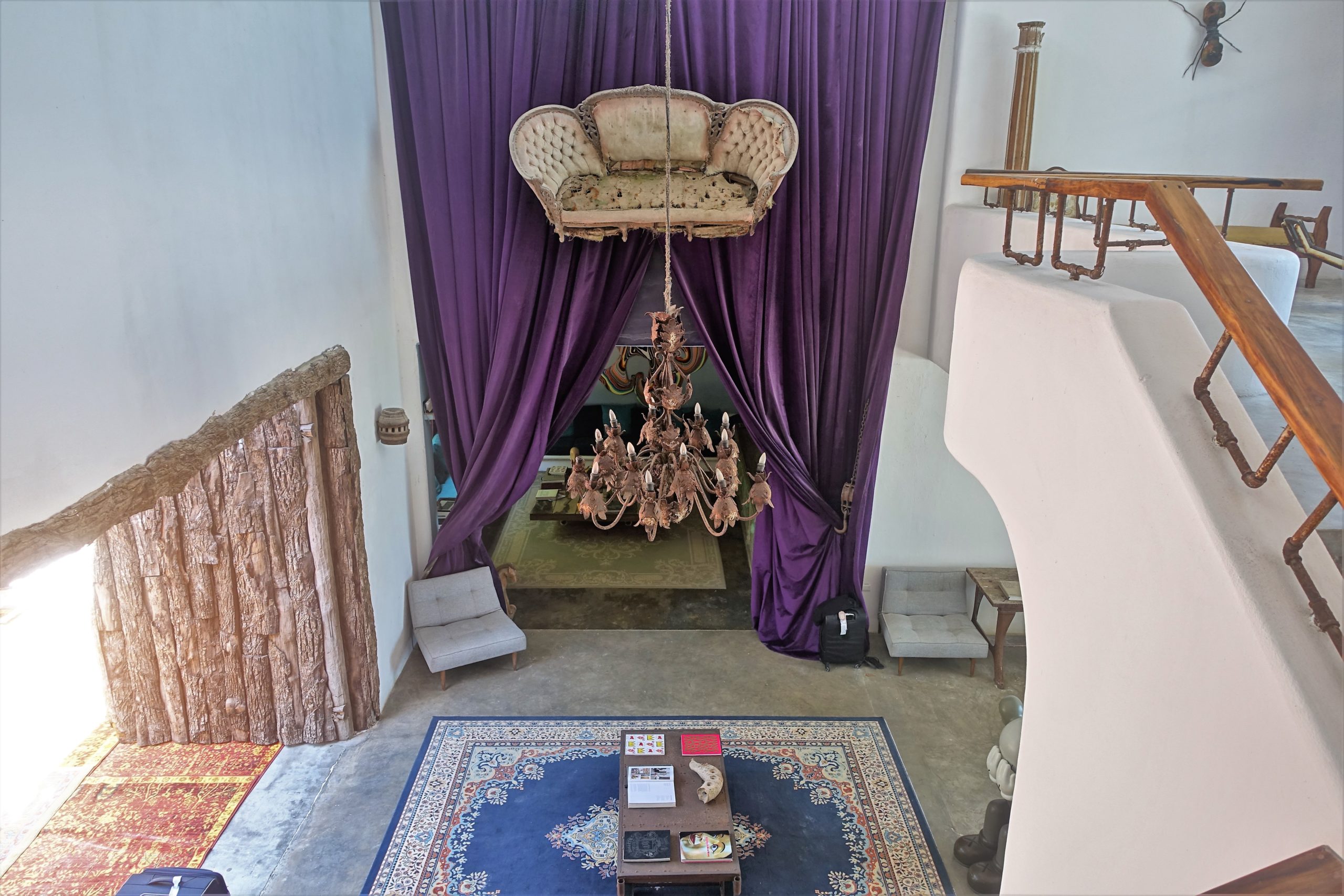
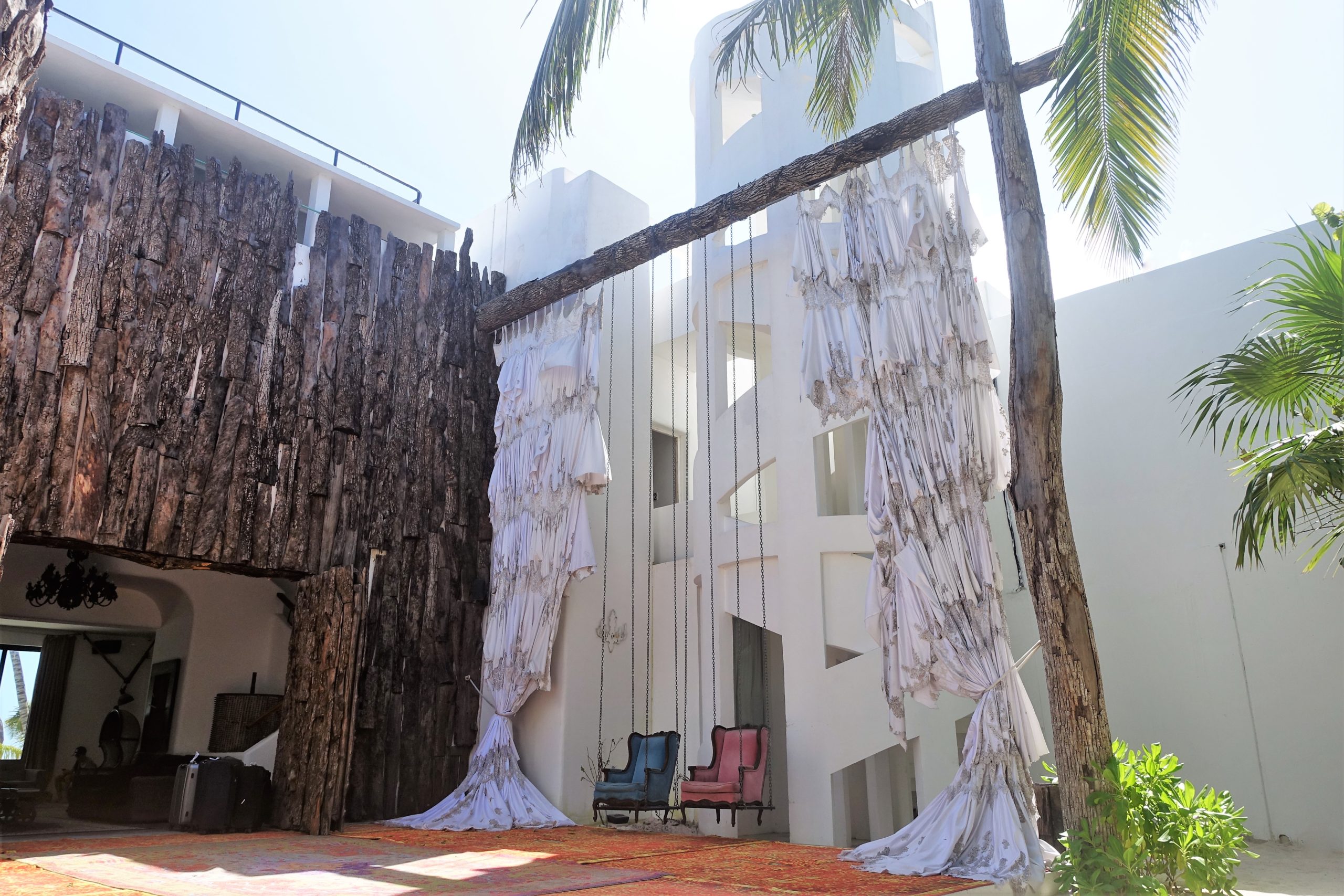
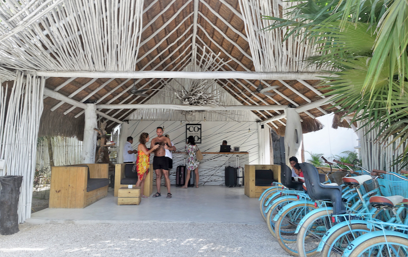
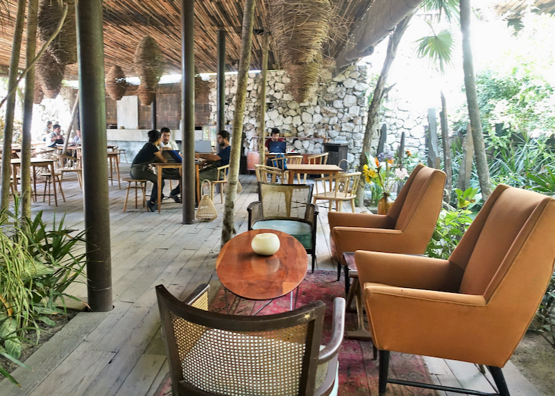
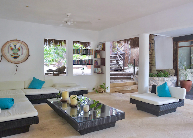
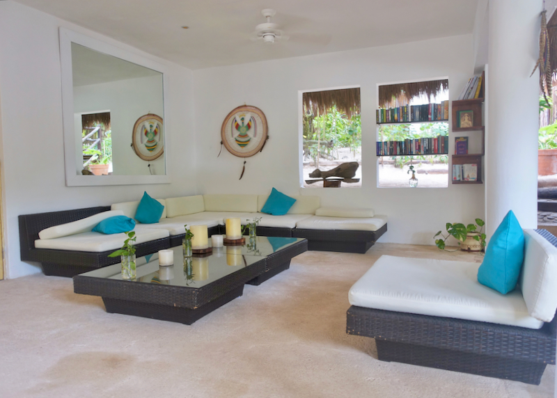
Hotel lounge.
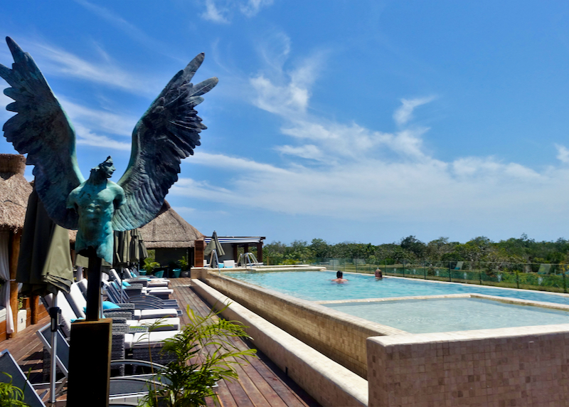
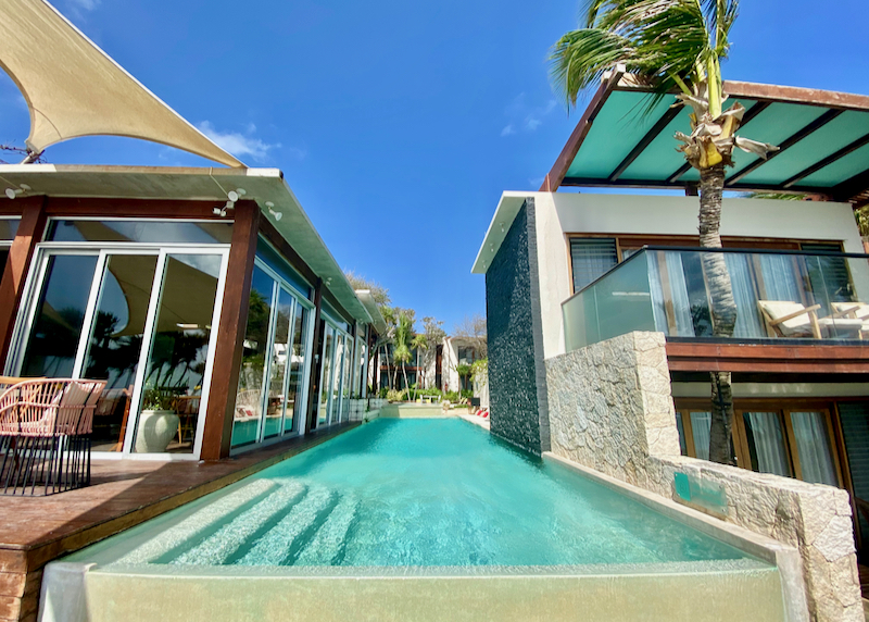
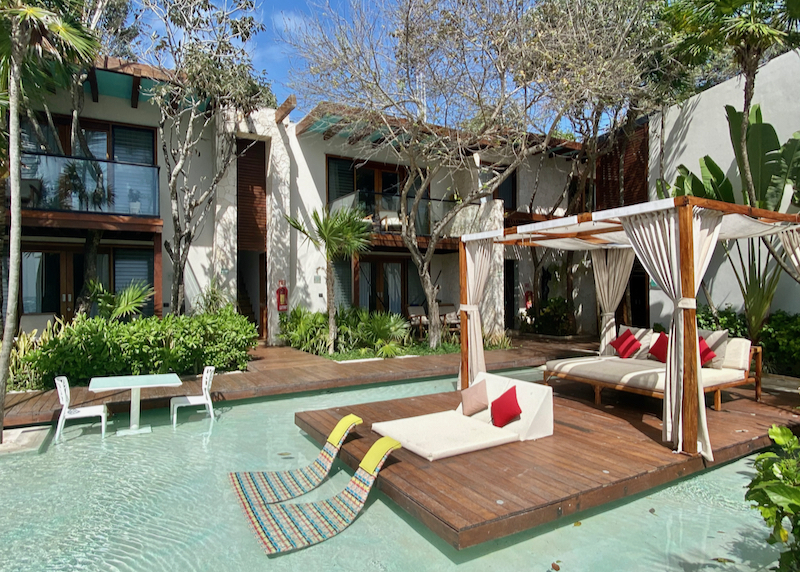
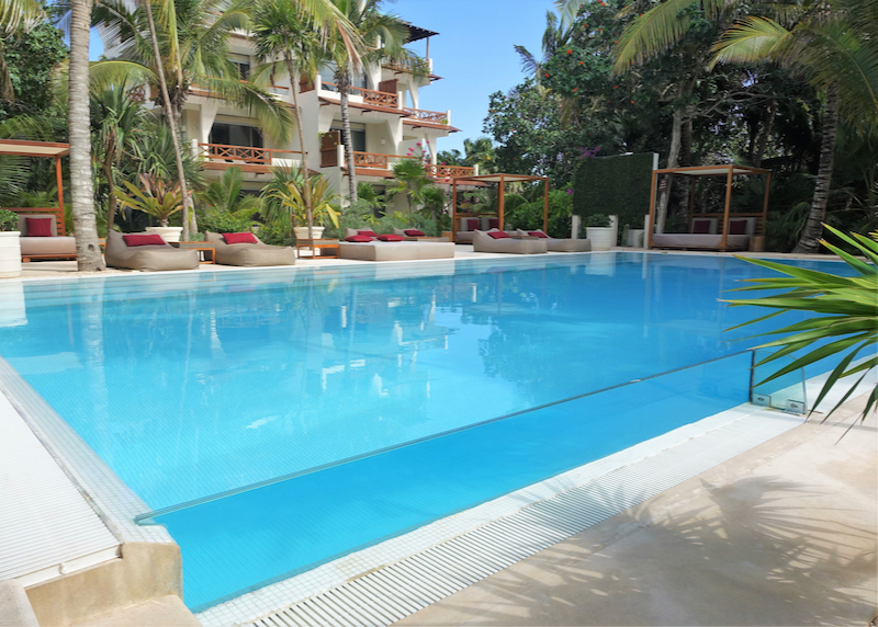
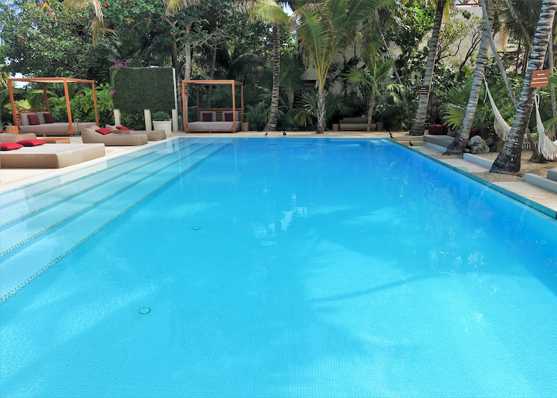
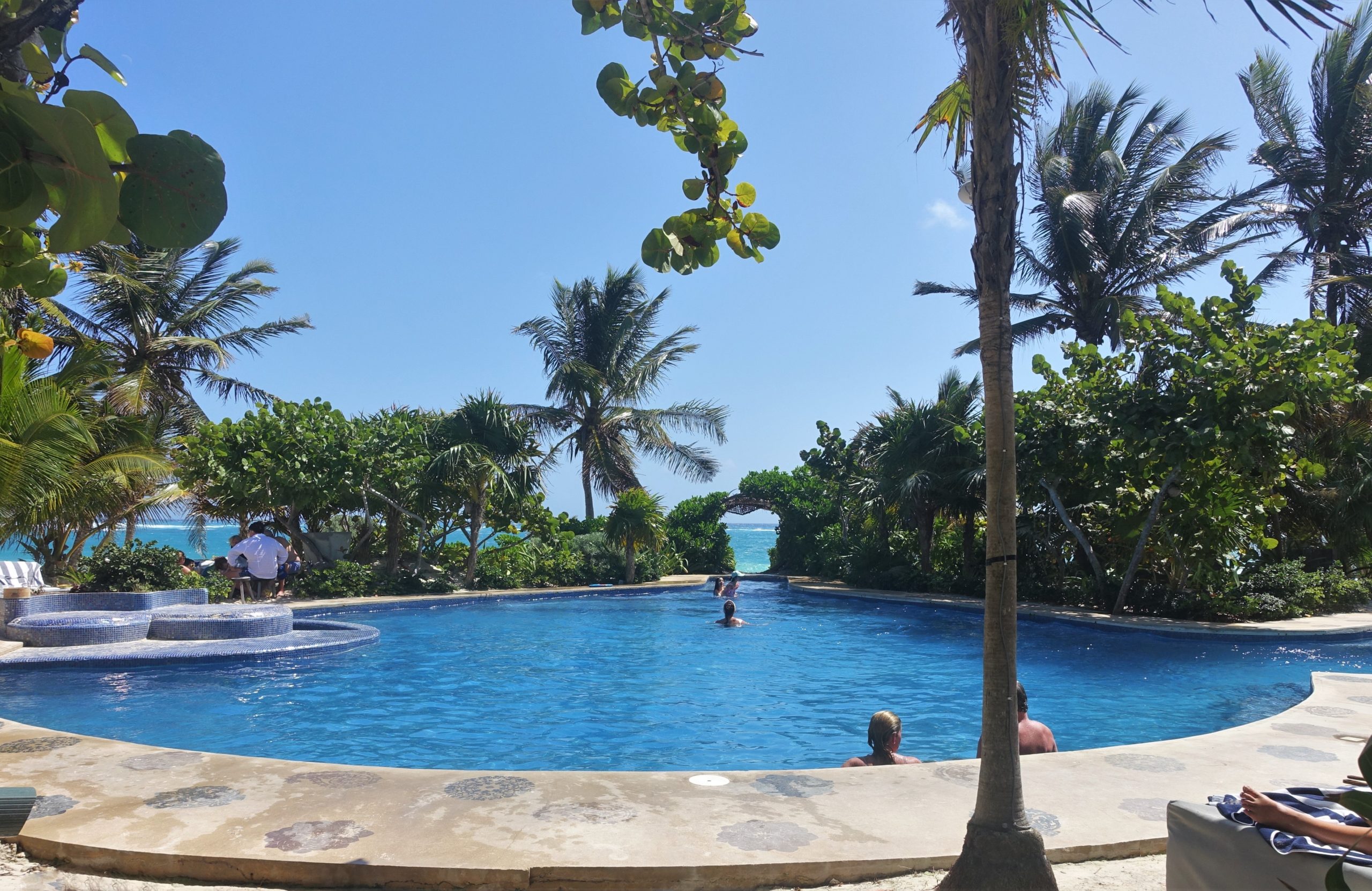
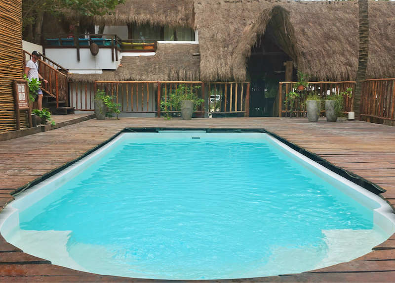
Large rooftop pool.
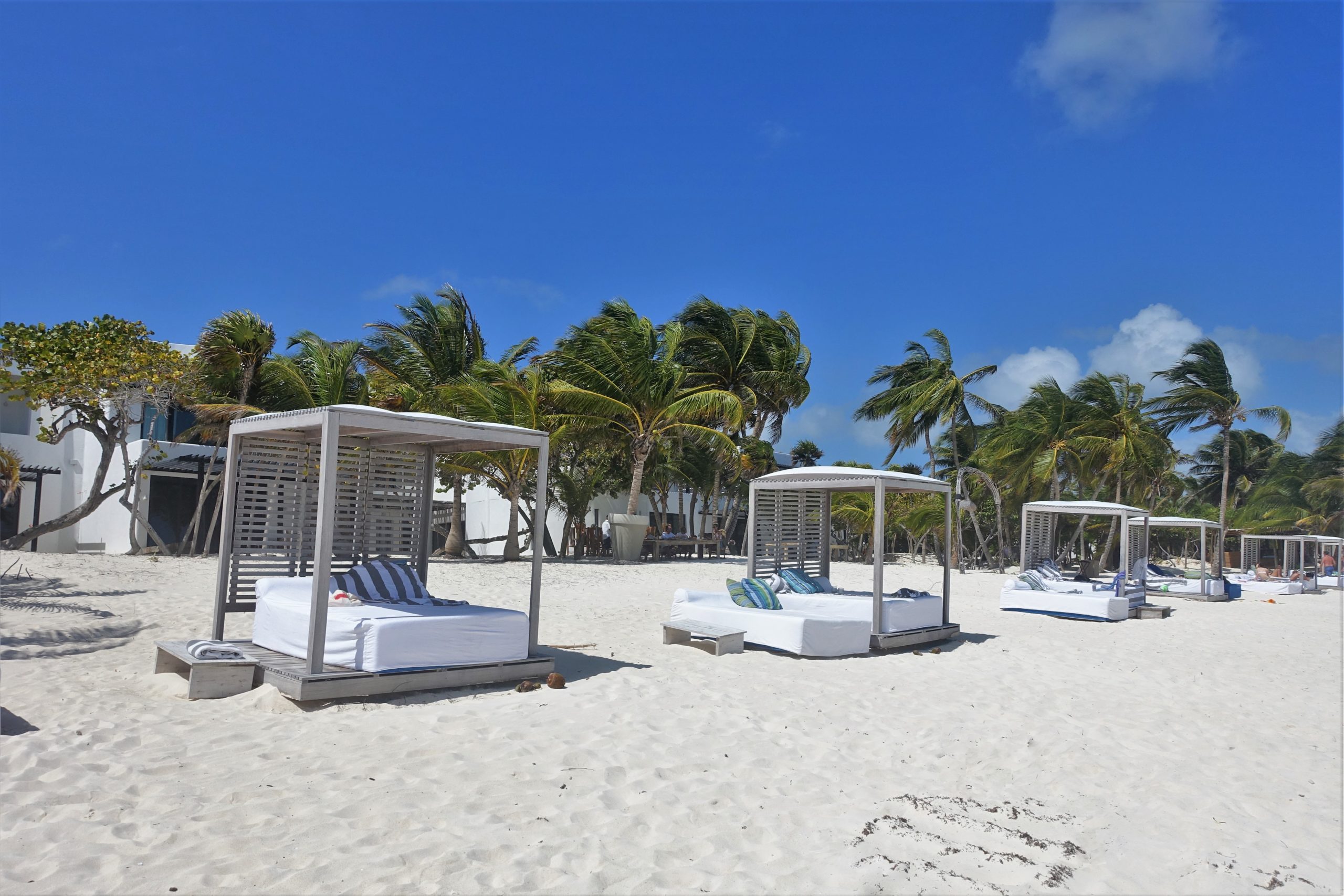
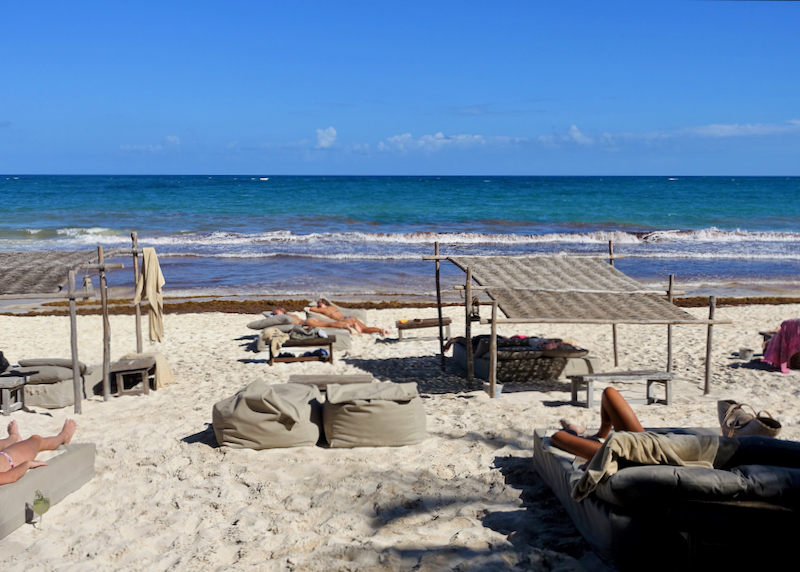
Sun beds by the rooftop pool.

Bali beds by the rooftop pool.
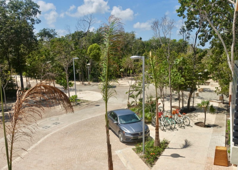
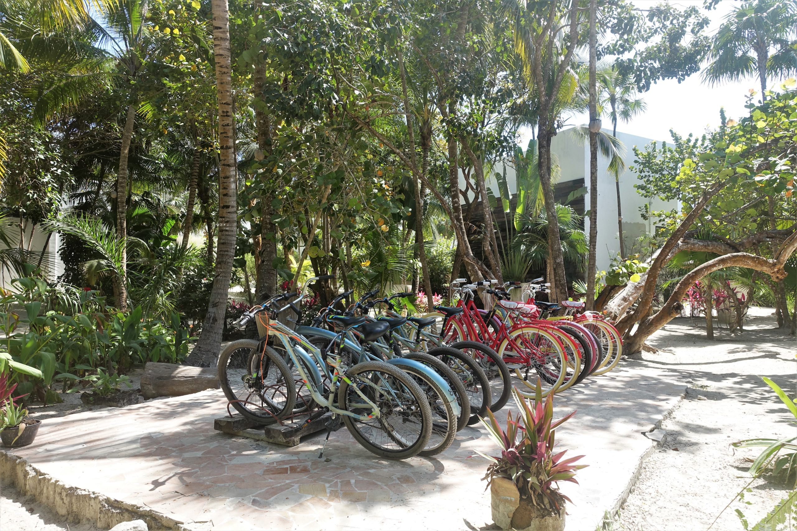
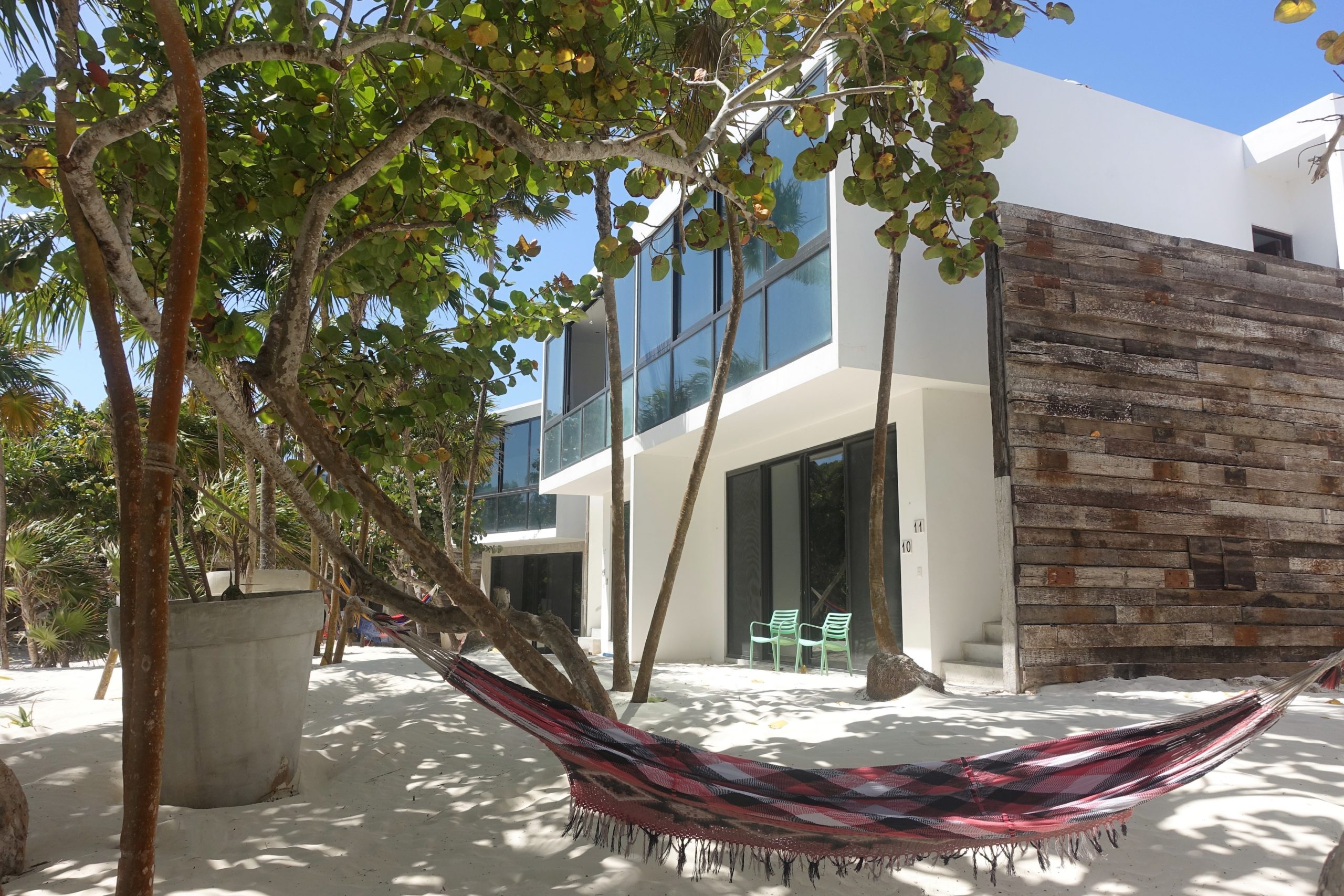
Beach cruiser bikes available for guest use to get to the beach and the pueblo.

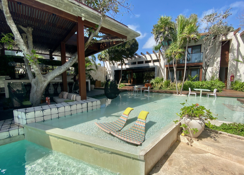
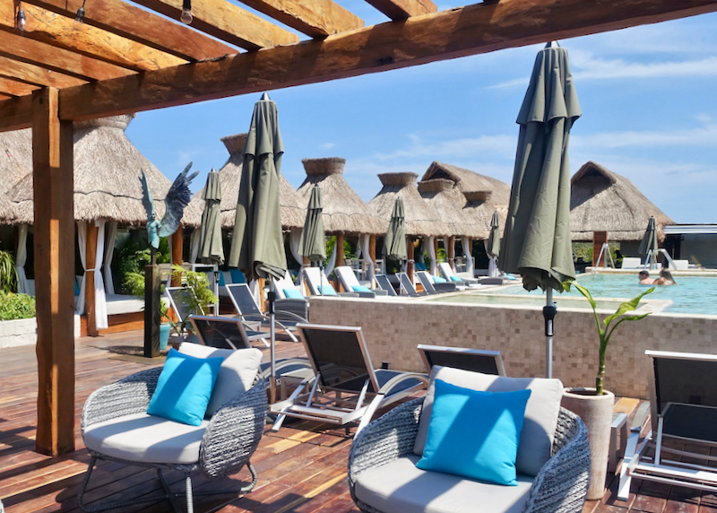
Rooftop deck lounge chairs.
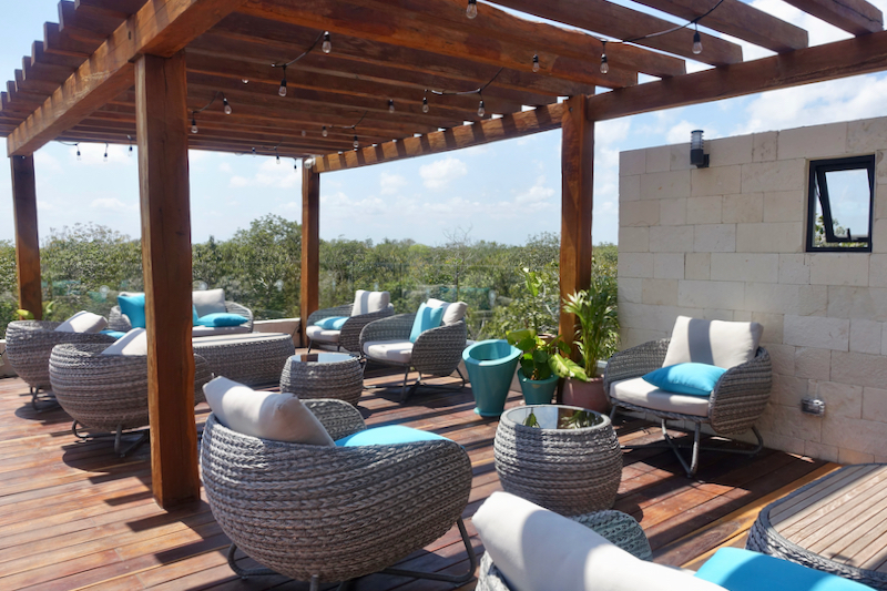
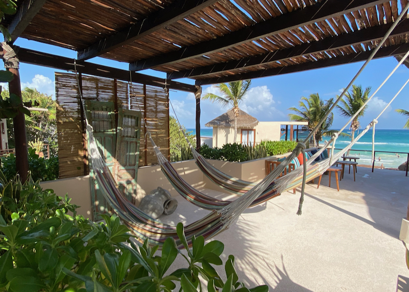
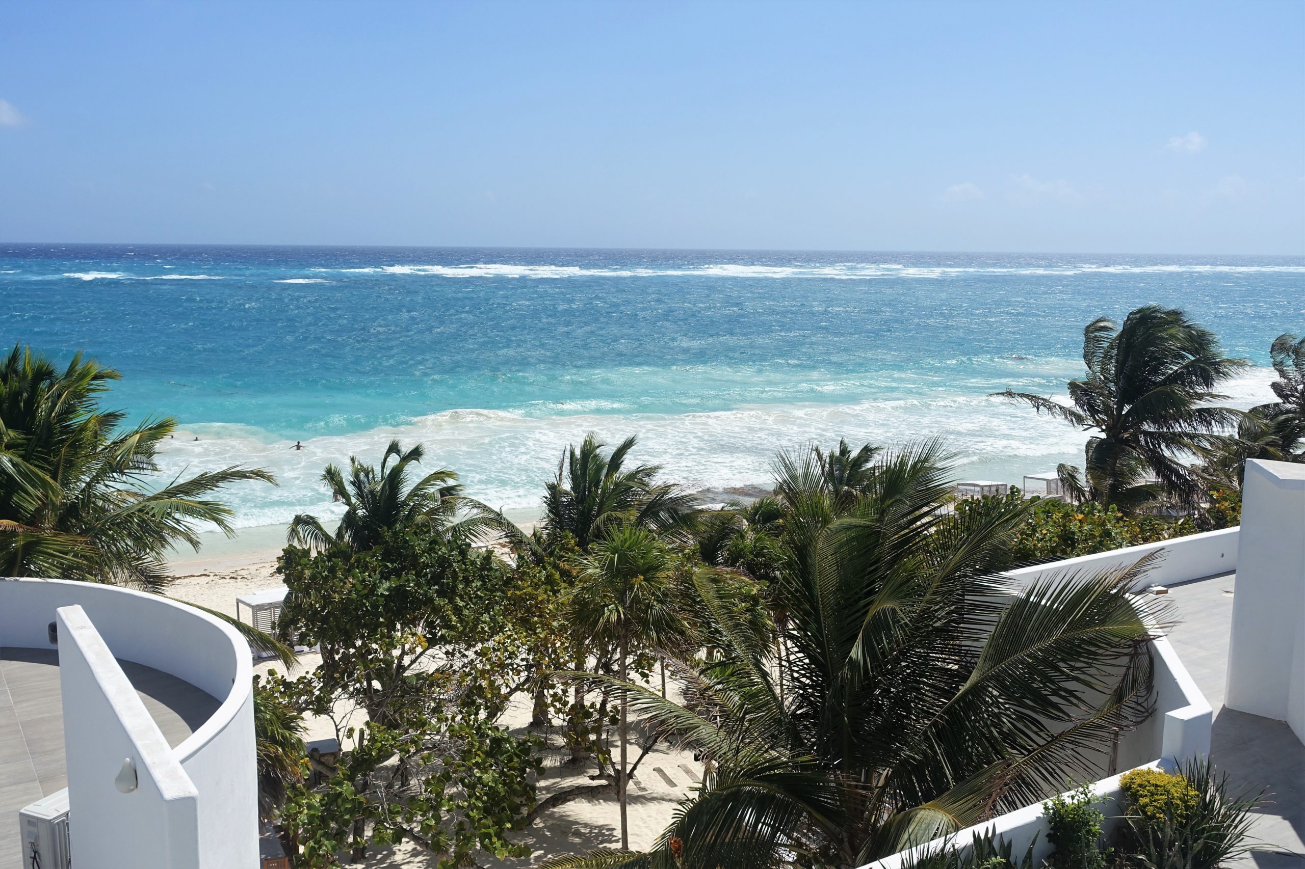
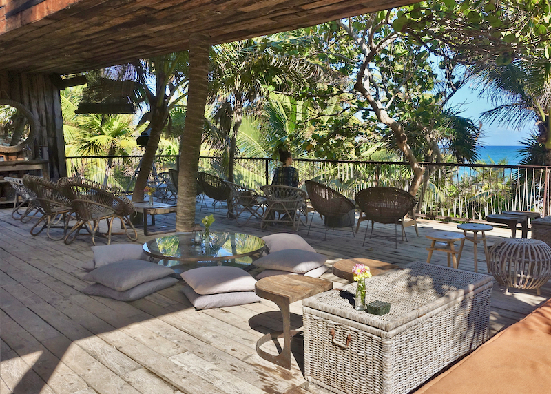
Rooftop deck chill out zone with amazing view.
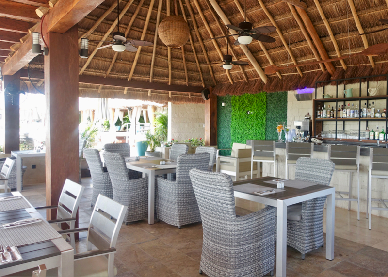
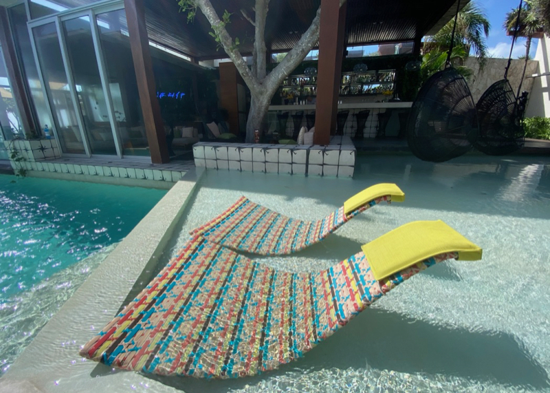
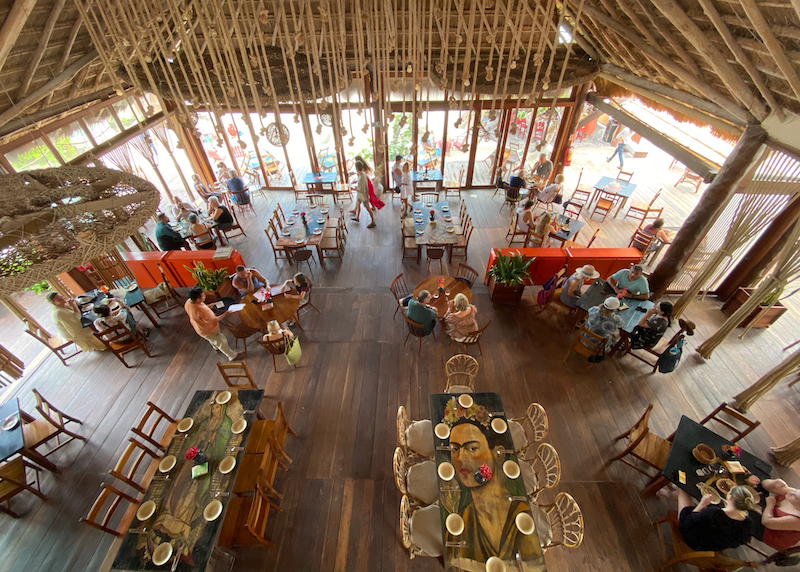
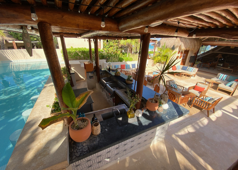
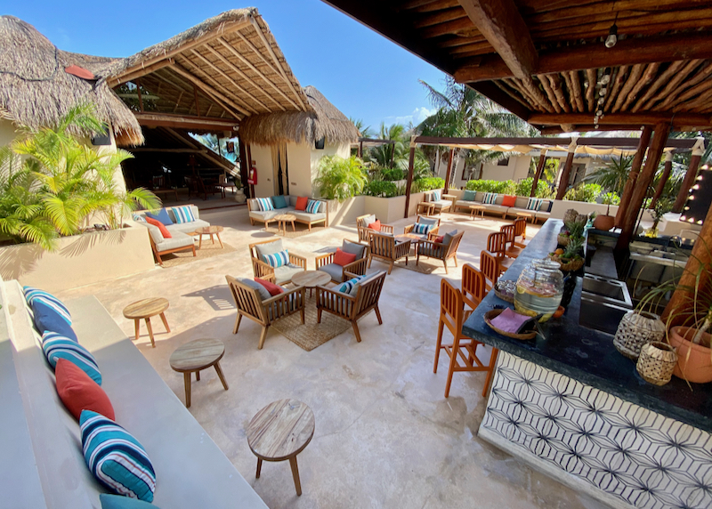
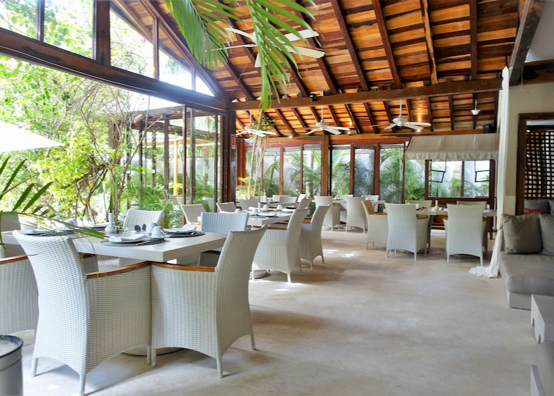
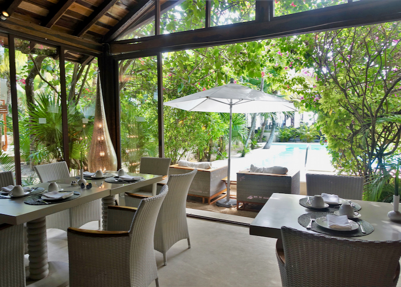
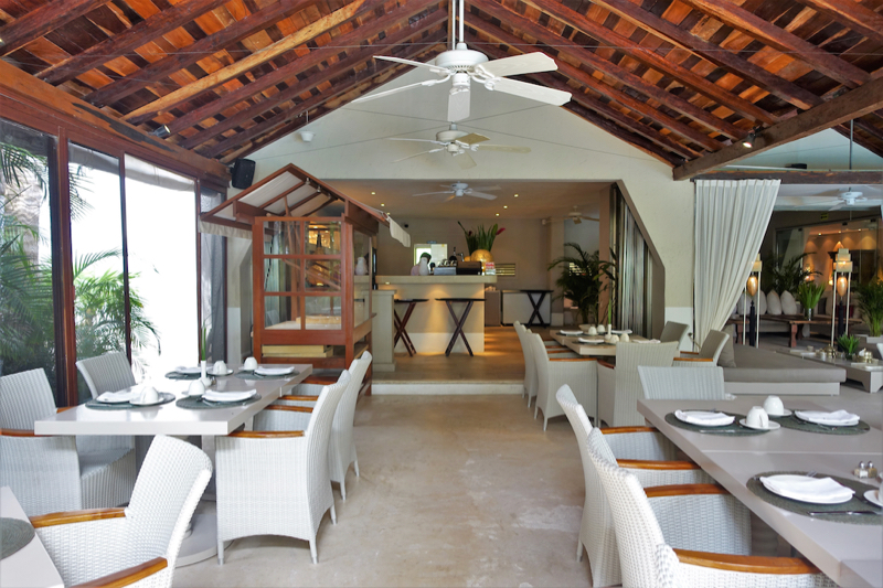
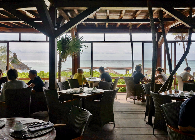
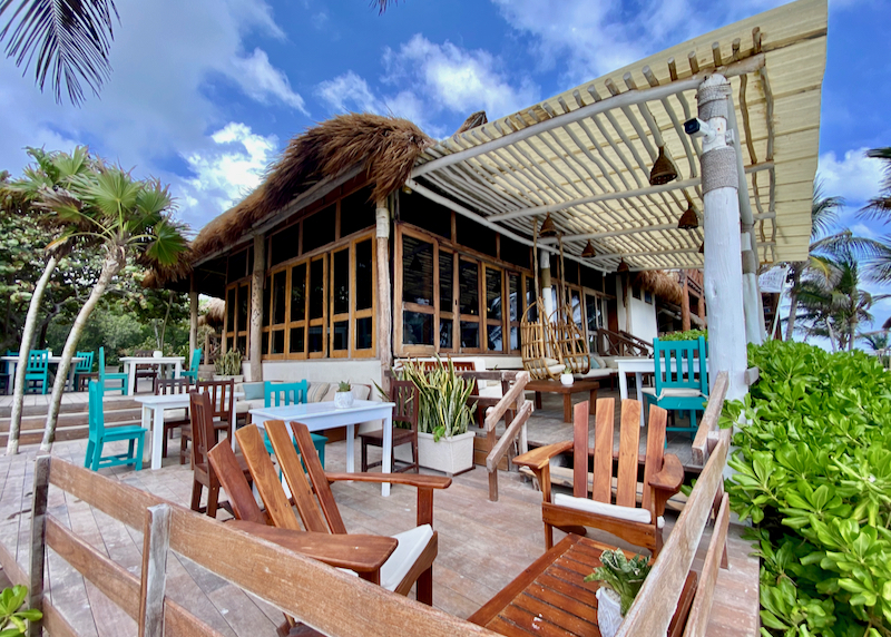
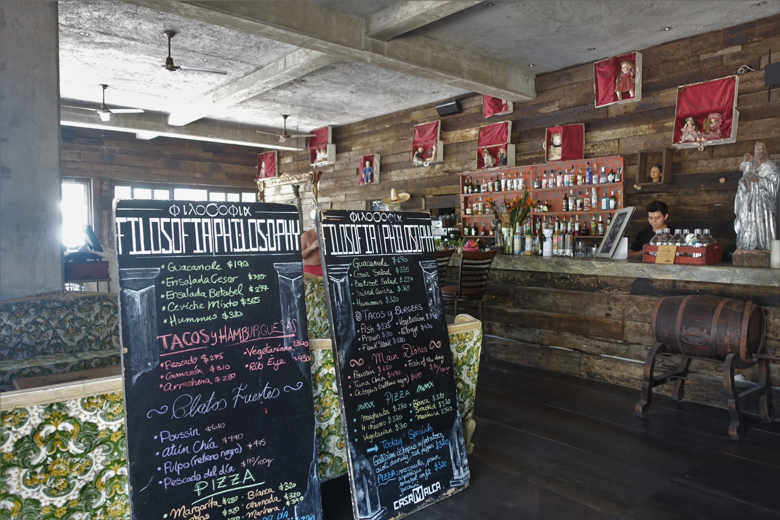
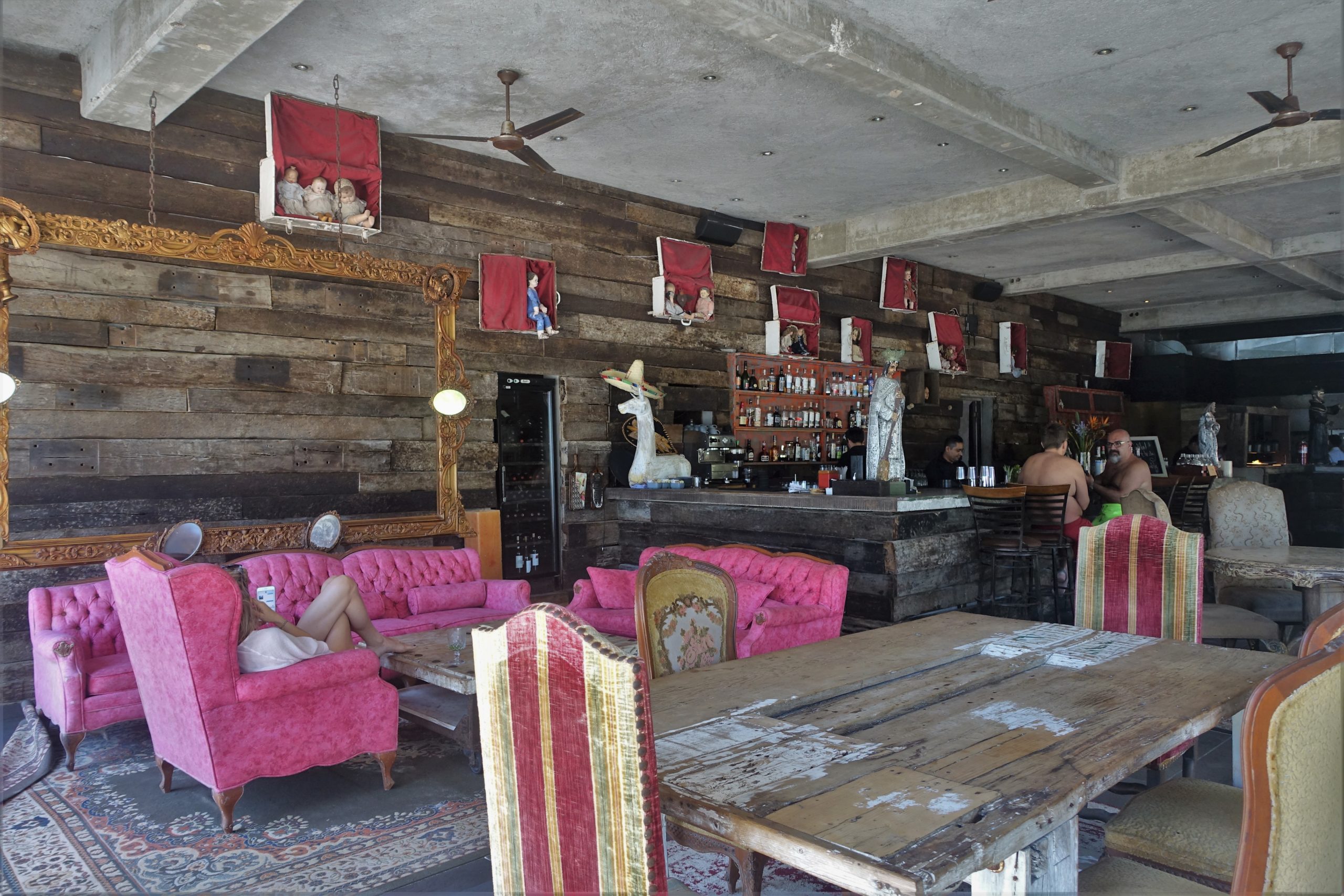
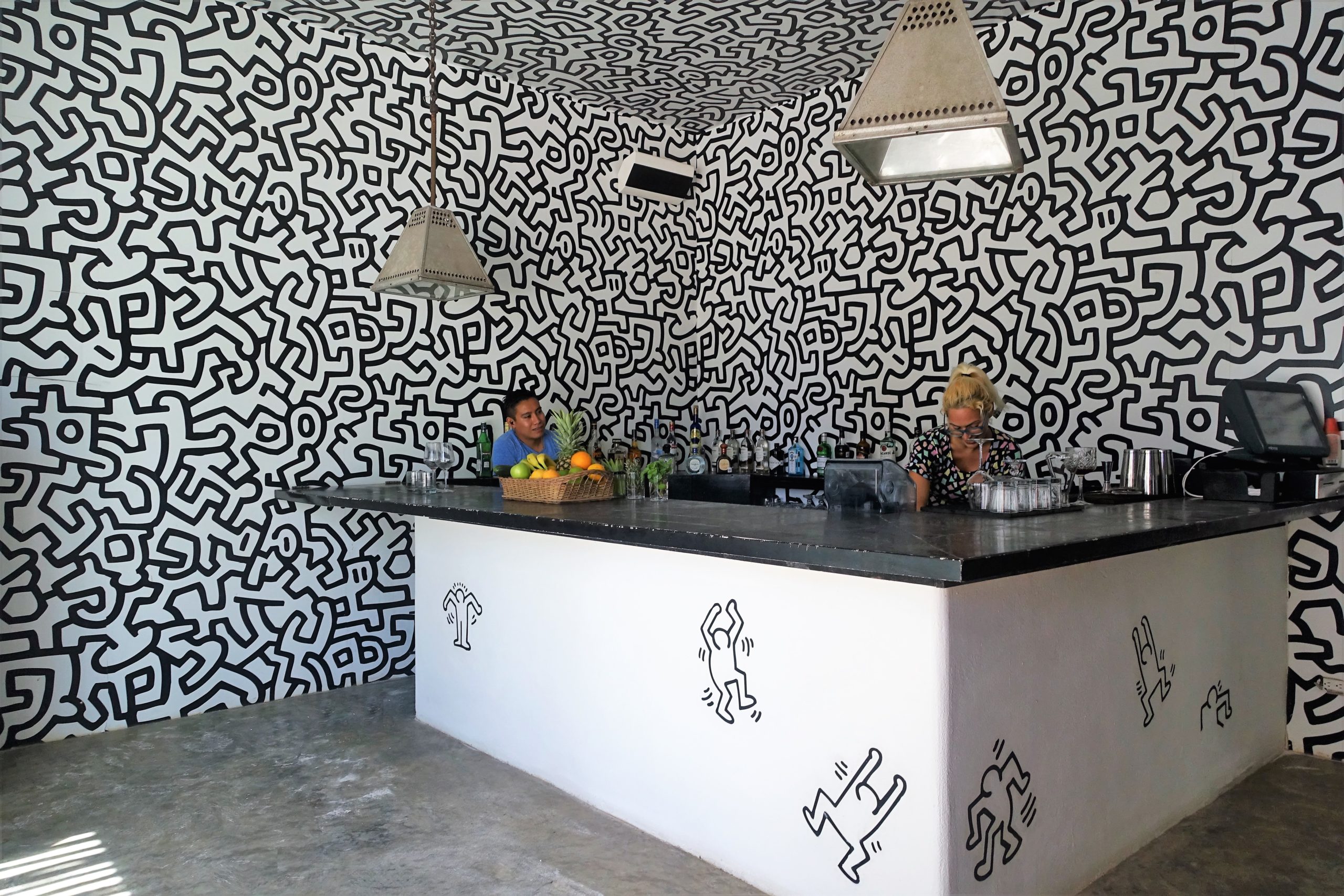
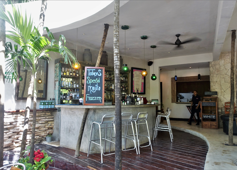
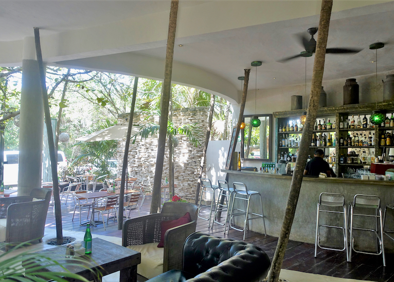
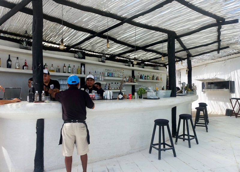
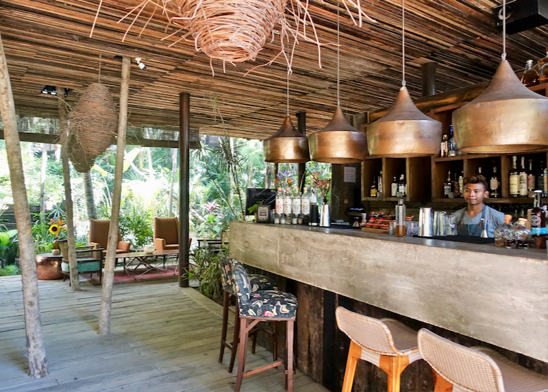
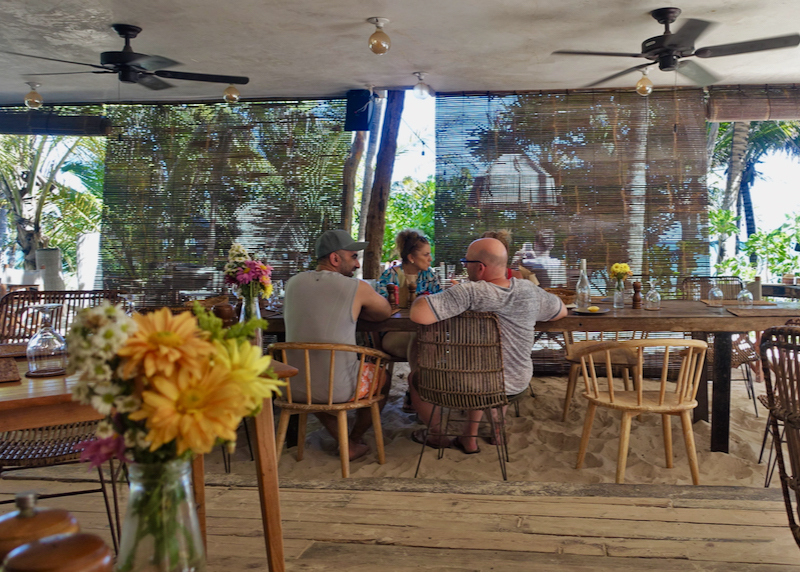
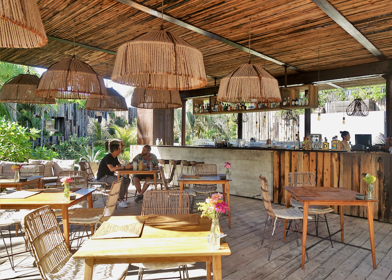
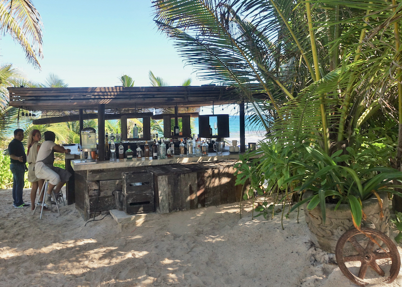
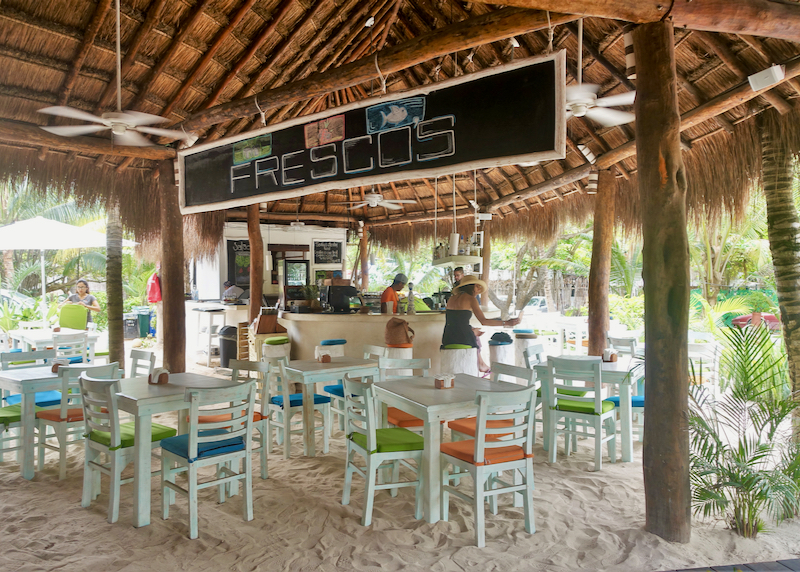
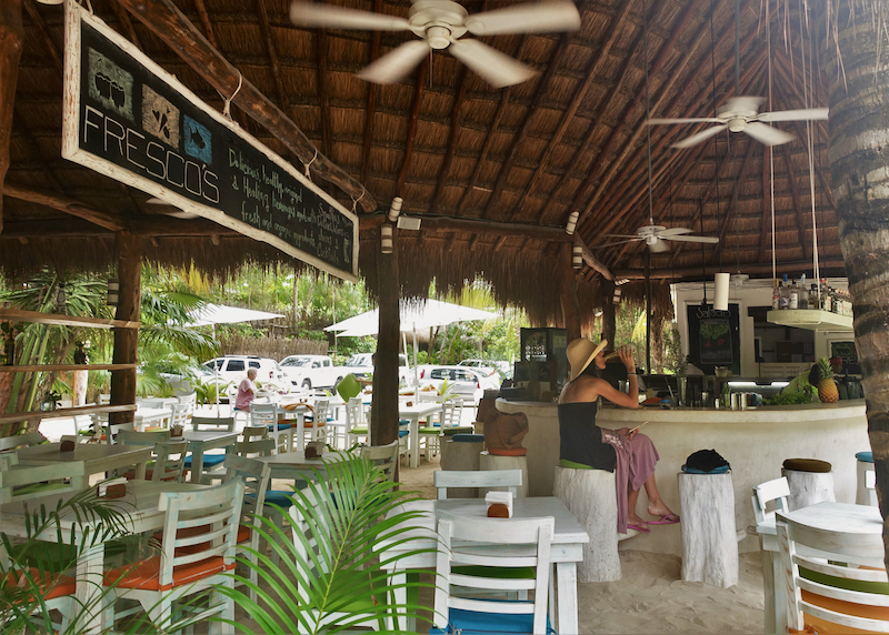
Hotel restaurant and bar.

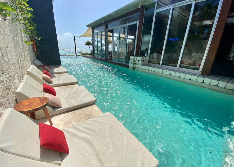
Rooftop pool interior lounge area.
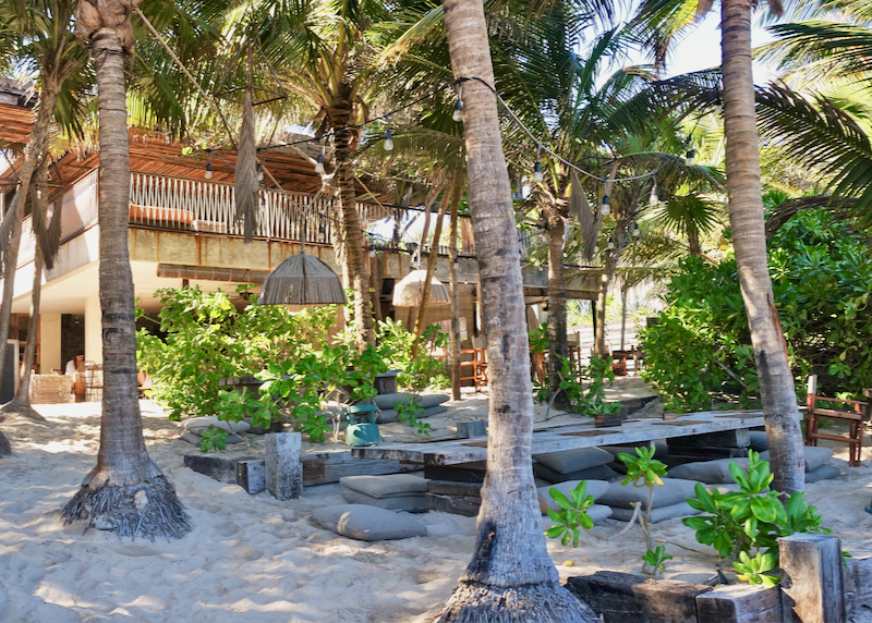
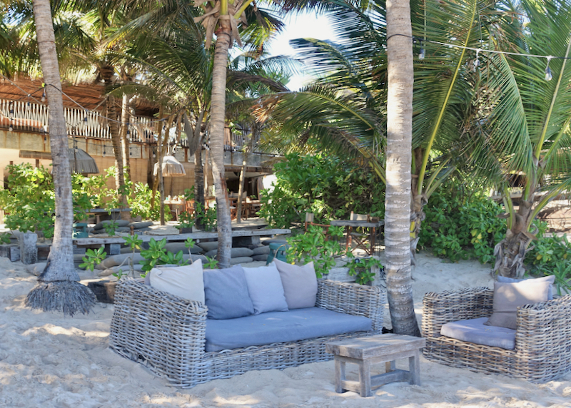
Rooftop lounge area.
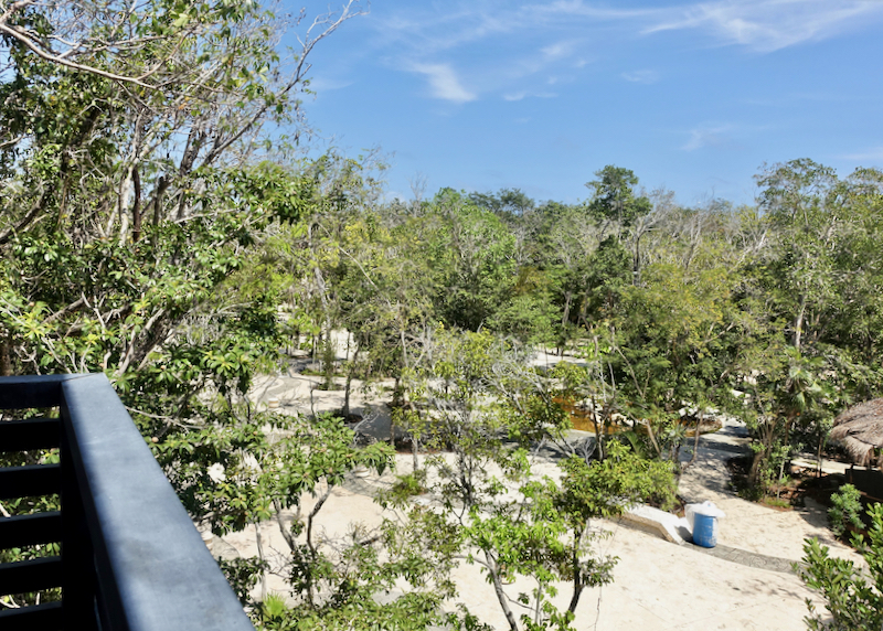
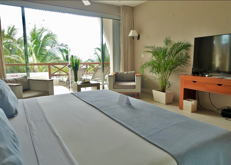
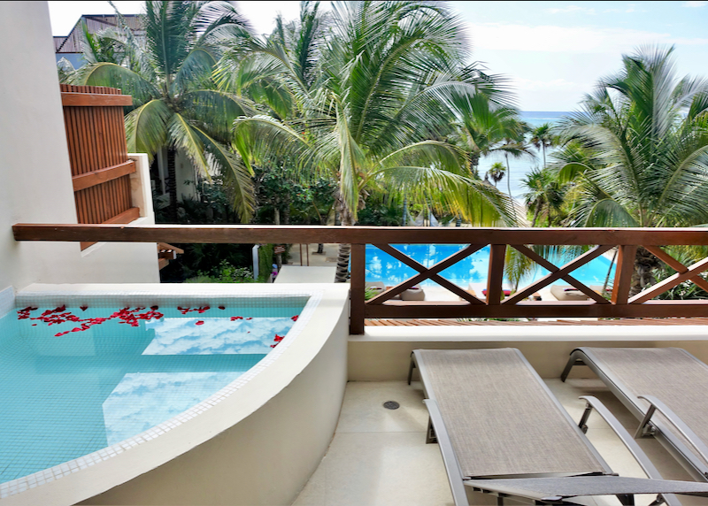
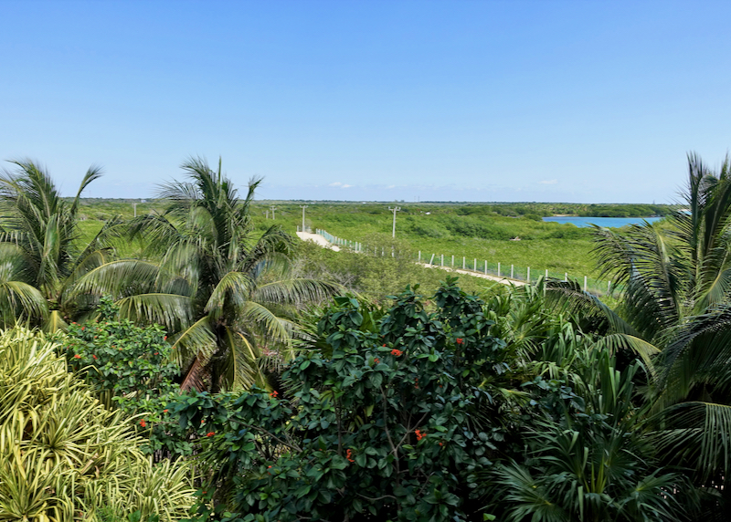
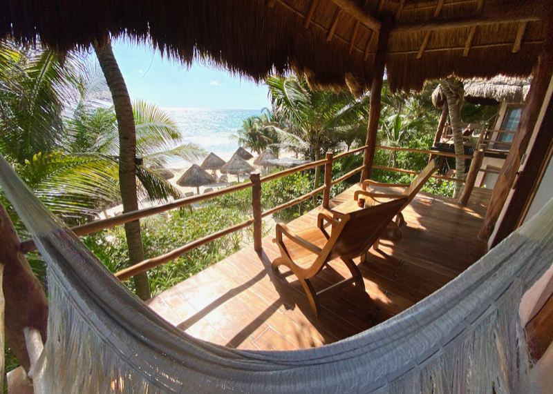
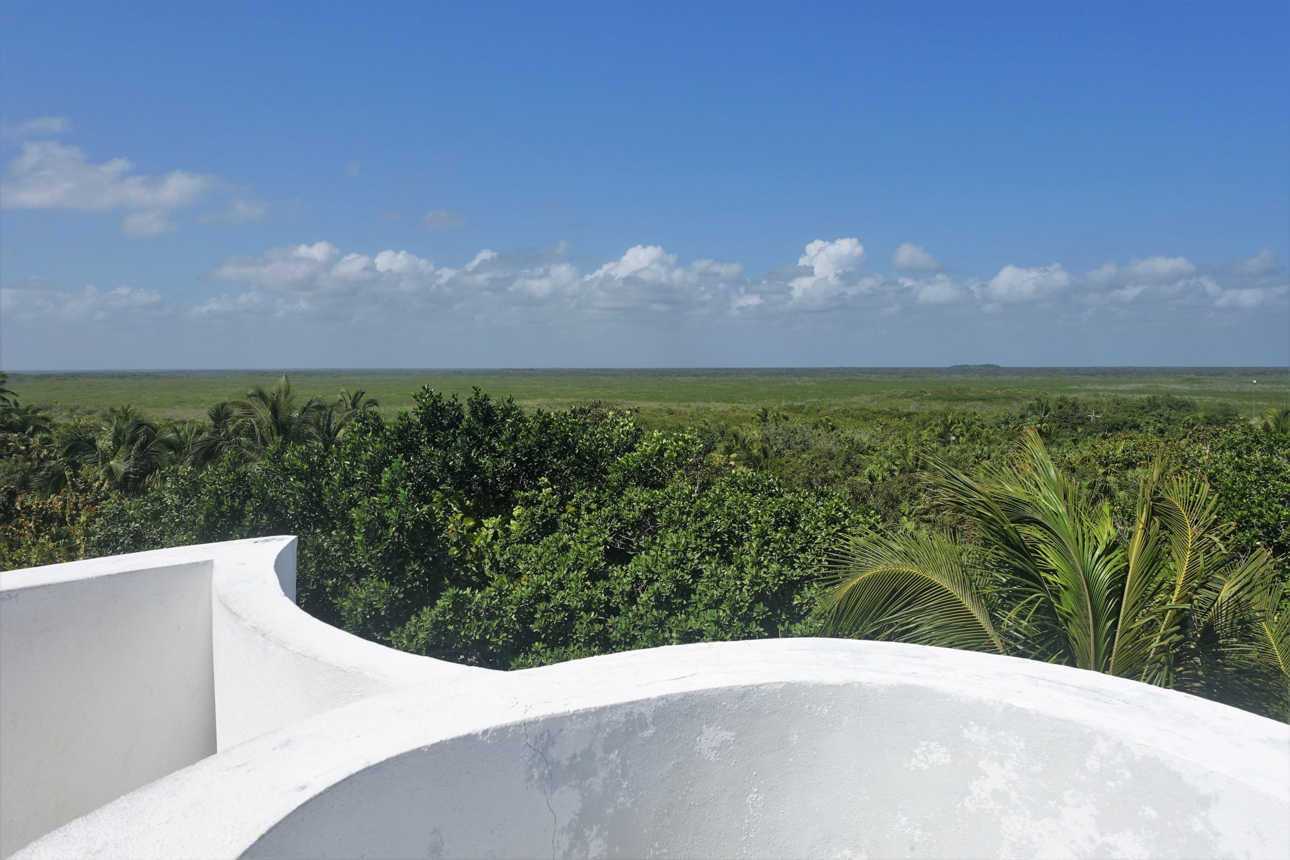
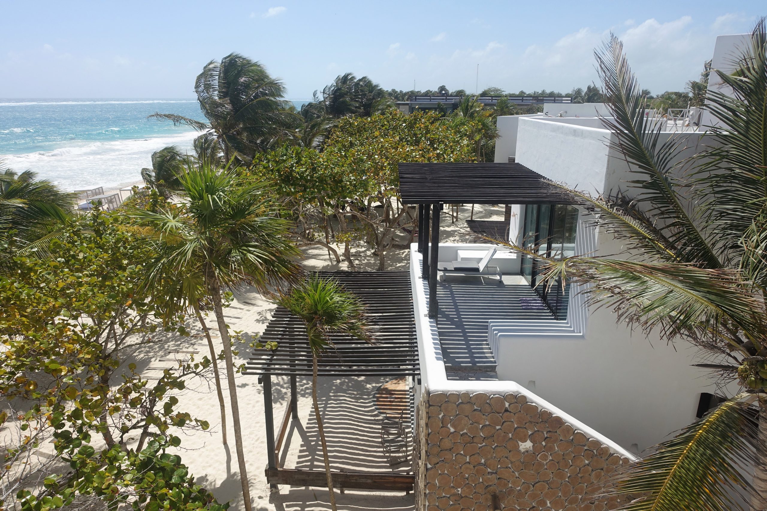
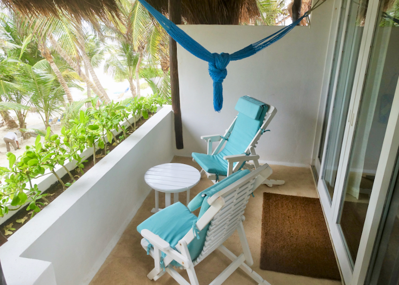
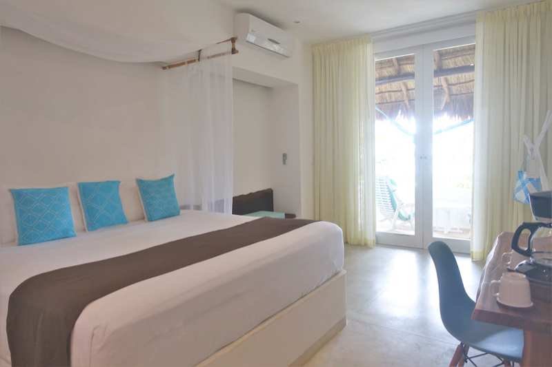
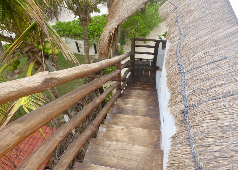
View from room balcony.
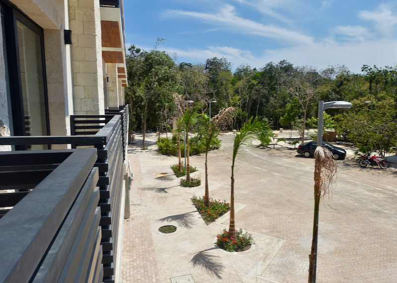
View from room balcony to street level below.

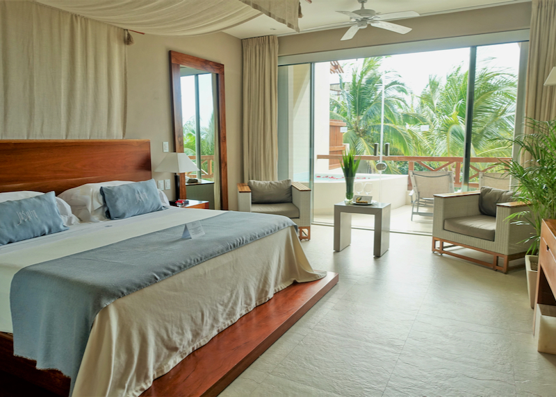
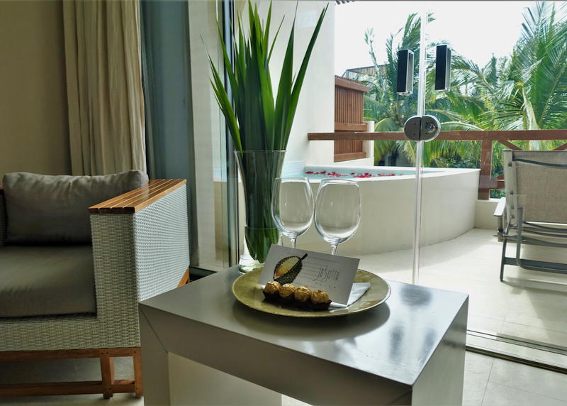
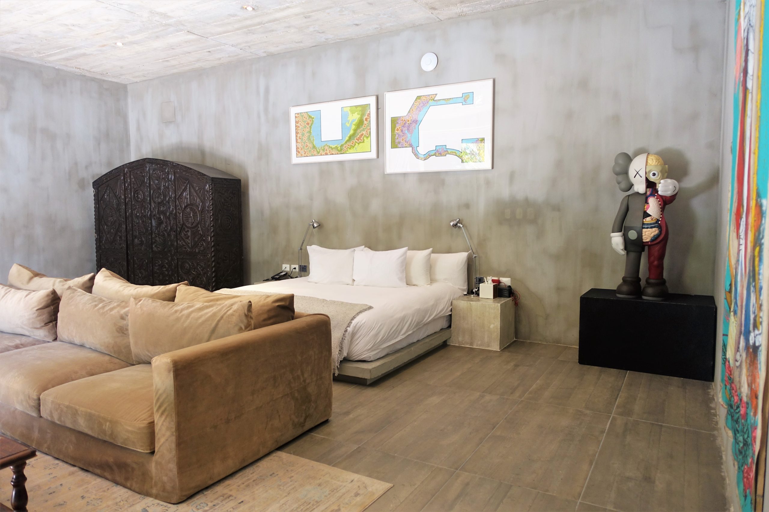
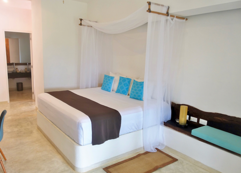
Suite room interior.

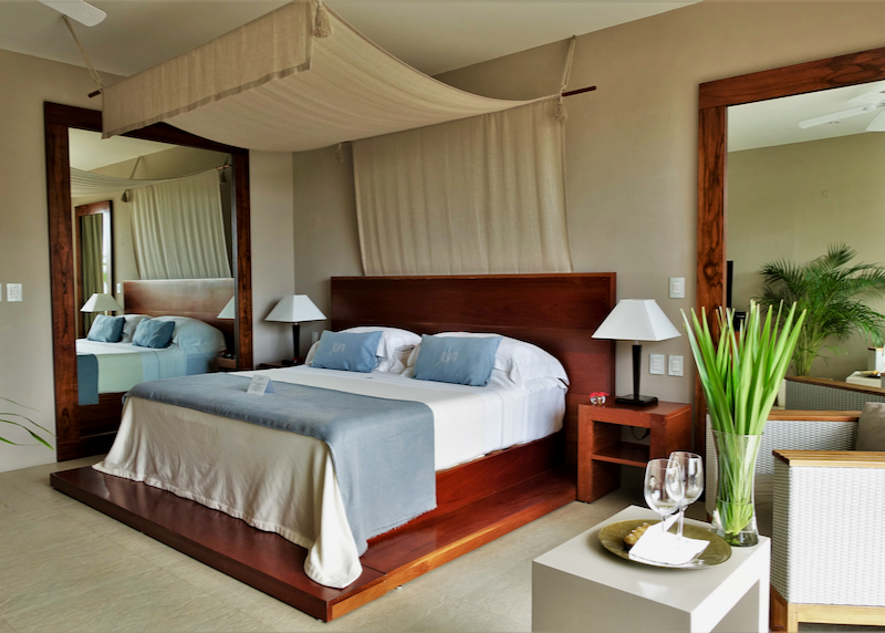
Master suite interior.
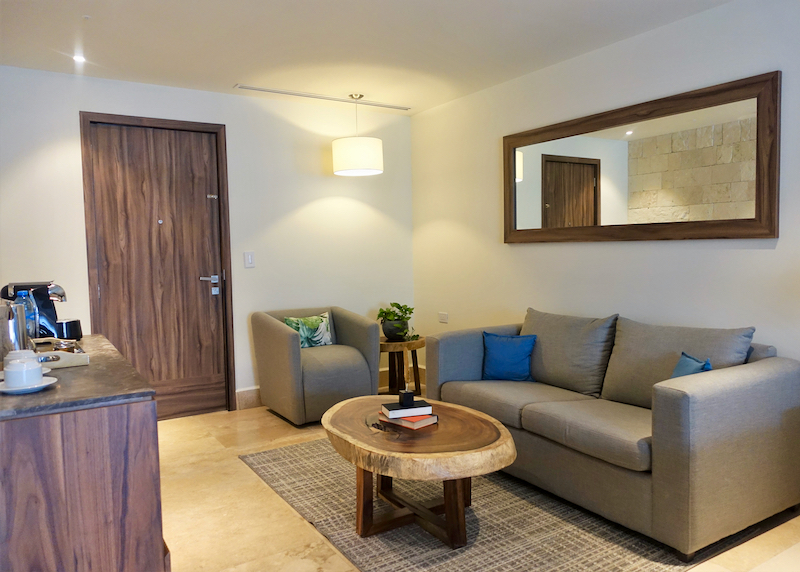
Suite lounge area.

Master suite side view.

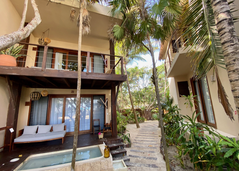
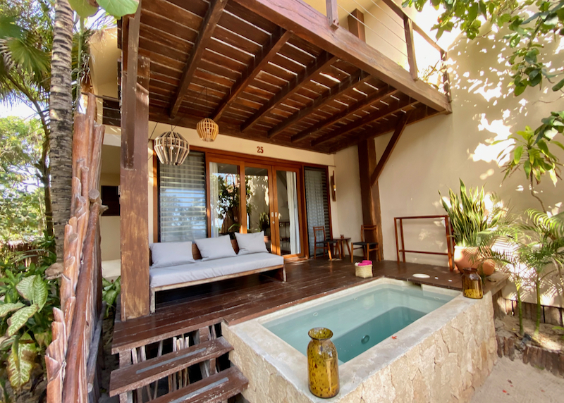
Accommodation interior.

Bed in room.
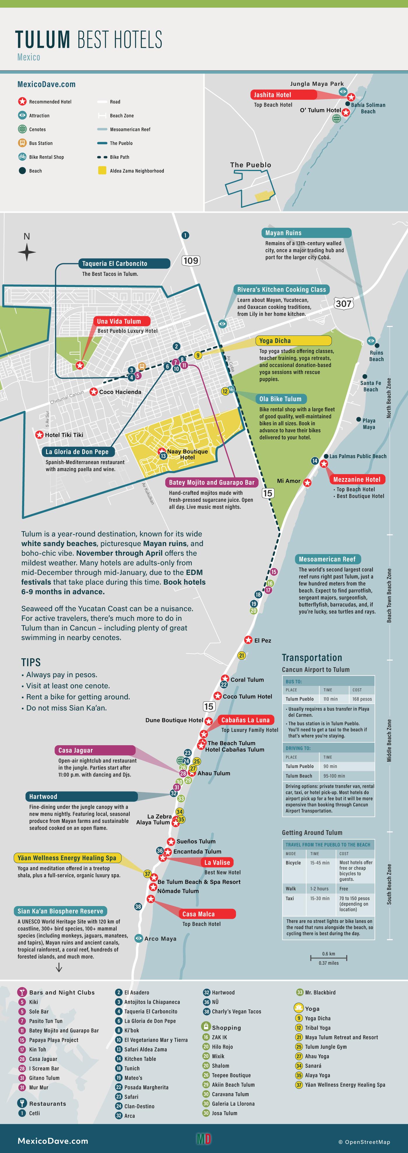
Tulum Hotel Map

Read More
- Best Hotels in Tulum
- Best Hotels for Families in Tulum
- Best Budget Hotels in Tulum
- Where to Stay in Tulum
- Best Time to Visit Tulum
- Best Restaurants in Tulum
- Best Bars and Clubs in Tulum
- Best Tacos in Tulum
- Best Cenotes in Tulum
- Biking in Tulum
- Maps of Tulum
- Videos of Tulum
- Tulum Hotel Reviews
- Tulum vs Cancun vs Playa Del Carmen
- Cancun to Tulum Transportation (including Airport)