Mexico › San Miguel de Allende
Updated: March 2, 2022
See Also
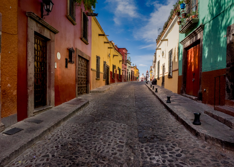
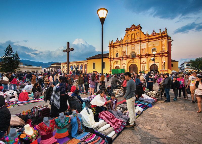
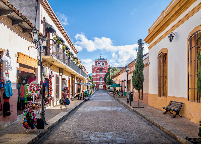
San Miguel de Allende is famous for its colorful cobblestones streets.
Frequently Asked Questions About San Miguel de Allende
Where is San Miguel de Allende?
San Miguel de Allende is located in the eastern part of Guanajuato, a state in central Mexico. With an elevation of just over 6,233 ft. (1,900m), it is one of the most visited cities in the country. It’s about 170 miles from Mexico City (273 km) and 39 miles from Querétaro (61 km).
How big is San Miguel de Allende?
San Miguel de Allende occupies an area of about 950 miles, which represents only 5% of the entity’s territory. Its population is around 70,000 people and over 20% of its inhabitants are foreigners, with at least half of these coming from the United States. This is a city that’s popular with expats.
What is the history of San Miguel de Allende?
In 1542 the Franciscan friar Fray Juan de San Miguel founded the town of San Miguel el Grande. In 1826 it reached the rank of ‘city’ and changed its name to the current one, in honor of Ignacio Allende, known as one of the heroes of the Mexican Independence. Since the 1950s, it has become a popular tourist destination among American tourists who spend long seasons in it or have made it their home.
How do I get to San Miguel de Allende?
There are two major airports near San Miguel de Allende. The Mexico City airport is almost four hours (168 miles) away and the one in Querétaro is 55 miles —just over an hour and twenty minutes— away by car. The former has flights and connections from practically all over the world, and the main national airlines operate in the latter, as well as some from the United States, such as American Airlines and United Airlines.
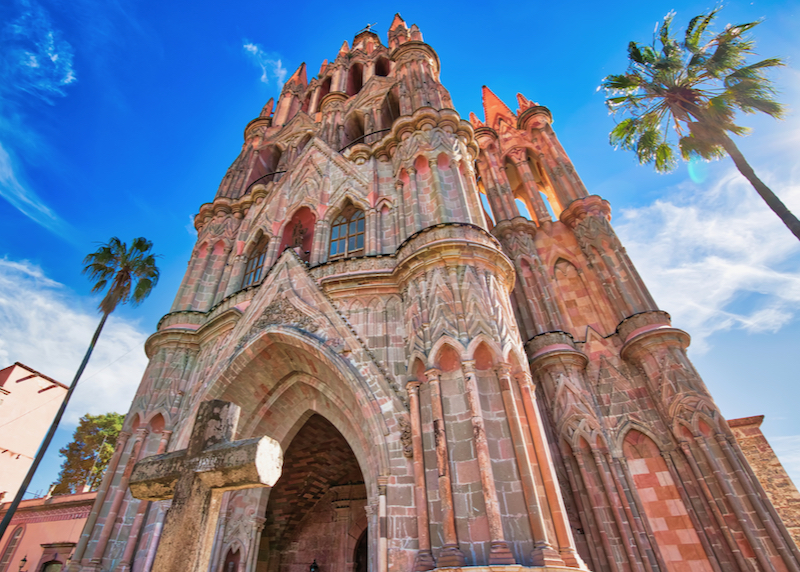
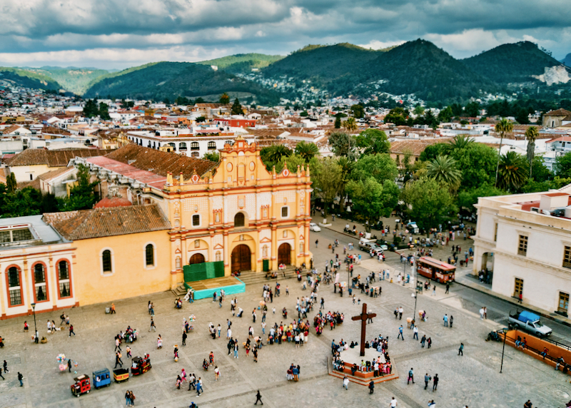
The facade of the iconic Parroquia De San Miguel Arcangel Cathedral in the center of the city.
When is the best time to go to San Miguel de Allende?
The temperature in San Miguel de Allende oscillates between 72 and 90 degrees Fahrenheit all year round, so practically any time is good to schedule a visit. However, the city is much more enjoyable between November and April since rain is scarce during these months. One of the most festive dates to spend in San Miguel is September 15, since this is when the anniversary of the Mexican Independence is celebrated and the city played an important role in it.
What neighborhoods should I visit in San Miguel de Allende?
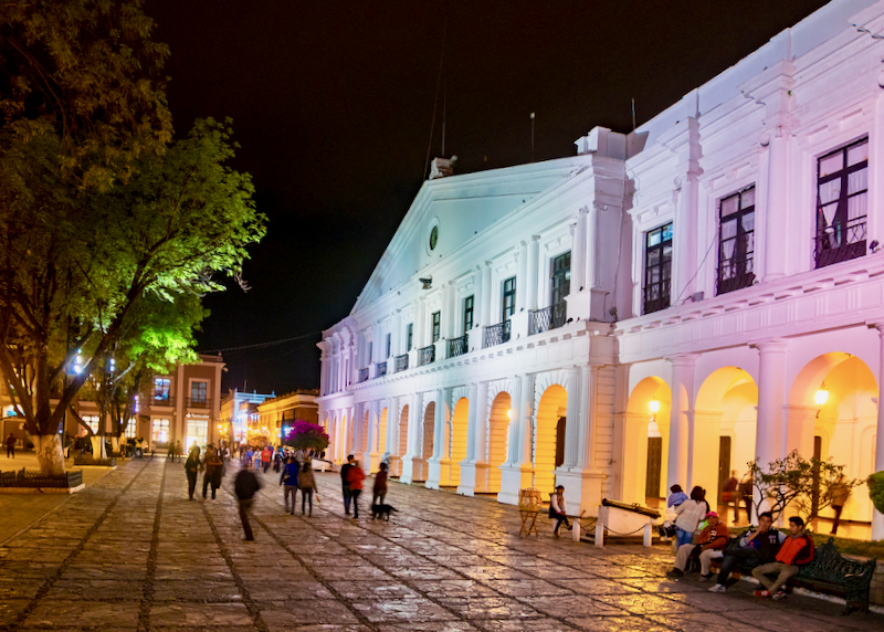
The historic center of San Miguel de Allende shouldn’t be missed on account of its spectacular colonial buildings. This area houses many of the city’s main attractions, such as churches, markets, and museums. It’s also a good idea to visit Los Frailes, one of the city’s fanciest neighborhoods, as it offers views of the lake, the mountains, and of beautiful sunsets. La Candelaria, an exclusive country club-style development, is just a 5-minute drive from the city center and it’s where the city lights can best be appreciated at night.
Where should I stay in San Miguel de Allende?
The best area of San Miguel de Allende to stay in is around the Parroquia de San Miguel Arcangel, in the center of the city. Being a city devoted to tourism, there are plenty of accommodations to suit all budgets. The most expensive and exclusive hotels are the Rosewood, Live Aqua, L’Ôtel at Dôce18, Matilda, and Casa de Sierra Nevada. Other excellent and slightly more accessible options are Hacienda El Santuario, Ilo Rojo and Hacienda Los Picachos. In addition, very good accommodation options can be found on Airbnb.
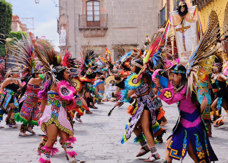
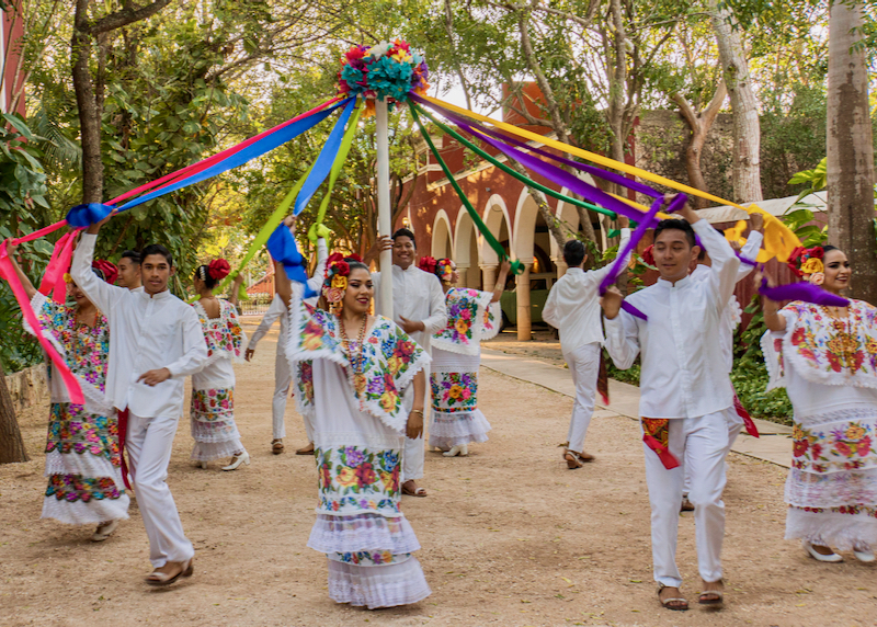
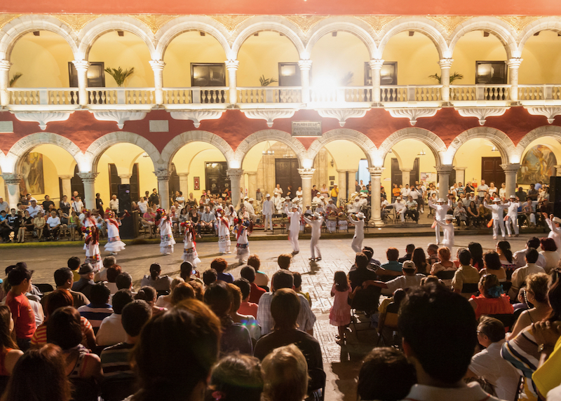
Dancers in pre-Hispanic costumes performing in the city center.
How do I get around in San Miguel de Allende?
Most of San Miguel de Allende’s points of interest are located in the center of town and the first square of the city, so it’s best to explore them on foot. It’s highly recommended to wear comfortable shoes on account of the cobblestone streets. An attractive option for visitors is to get on the tourist tram that runs through the historical points of the city for approximately 1 and a half hours. It’s also relatively easy to find a taxi on the main streets and it’s advisable to negotiate the price with the driver before boarding it. Another option is to use Uber services.
What are the best things to do in San Miguel de Allende?
Visiting the Parroquia de San Miguel Arcangel, the emblem of the city, is the number one activity for any first-timer to San Miguel de Allende. Other highly recommended activities are walking along Aldama Street, the most beautiful in town, taking pictures of the views from El Mirador, and visiting the handicraft market and La Aurora, an old textile factory converted into a cultural and design center with galleries, workshops, and restaurants.
How many days should I spend in San Miguel de Allende?
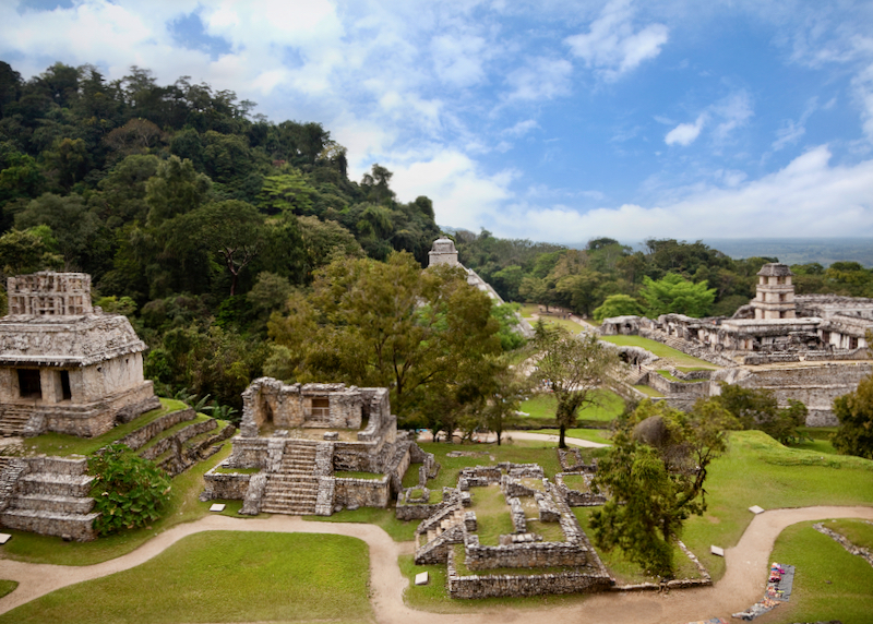
San Miguel de Allende is a beautiful city with many tourist attractions and a renowned culinary scene, so it’s best to allocate at least two days to visit it. In its surrounding areas, there is an archaeological zone, a botanical garden, an adventure park, and a sanctuary, among many other interesting activities, so there is always something to do even if the stay lasts a week.
What currency is used in San Miguel de Allende?
The official currency of the country is the Mexican peso, which is why it’s used in San Miguel de Allende. Being a city with many foreigners, visitors, and residents alike, in many businesses they accept US dollars, although the exchange rate offered will not be as favorable as the official rate. The average exchange rate is about $20.50 pesos per US dollar. It’s best to withdraw cash from an ATM for street purchases and to pay with a credit card in hotels, restaurants, and galleries.

The streets of San Miguel are full of beautiful flowers and vegetation.
Should I tip in San Miguel de Allende?
In Mexico, there is a culture of tipping and it’s deeply rooted in places as touristy as San Miguel de Allende. In bars and restaurants, it’s normal to leave between 10% and 15%. There is no standard for tour guides, but $5-10 is recommended. It’s also advisable to leave the housekeeper a tip at the end of a hotel stay.
Is San Miguel de Allende expensive?
Prices in San Miguel de Allende are higher than in other colonial cities around the country, but visitors can make their stay as expensive or as cheap as they wish given that there are options for all budgets. Travelers arriving from the United States, Canada, or a European country are likely to find it as an affordable destination.
What should I eat in San Miguel de Allende?
The culinary scene in San Miguel de Allende is very interesting. Restaurants serving international and fusion cuisine stand out the most and among the ones that visitors should try are: Quince, with its spectacular terrace, La Parada, offering Peruvian cuisine as good as the one served in Lima, Luna Rooftop, specialized in tapas, and Áperi, which works only with local producers to guarantee the food’s freshness.
Is San Miguel de Allende safe?
San Miguel de Allende is one of the most important tourist destinations in the country so the authorities take great care of safety in the region. However, it’s important for visitors to follow the basic recommendations found anywhere, such as not going out with flashy jewelry or a lot of cash and taking care of belongings in public places.
Read More
- Cancun – Best Hotels
- Cancun – Family Hotels
- Isla Mujeres – Best Hotels
- Isla Mujeres – Family Hotels
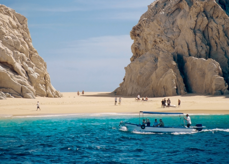
- Los Cabos – Travel Guide
- Los Cabos – Best Hotels
- Los Cabos – Family Hotels
- Mazatlan – Best Hotels
- Mazatlan – Family Hotels
- Playa del Carmen – Best Hotels
- Playa del Carmen – Family Hotels
- Puerto Vallarta – Best Hotels
- Puerto Vallarta – Family Hotels
- Punta de Mita – Best Hotels
- Sayulita – Best Hotels
- Tulum – Best Hotels
- Tulum – Family Hotels